

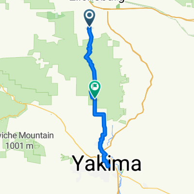
Ellensburg to vantage
A cycling route starting in Ellensburg, Washington, United States.
Overview
About this route
- -:--
- Duration
- 55.7 km
- Distance
- 588 m
- Ascent
- 924 m
- Descent
- ---
- Avg. speed
- 780 m
- Max. altitude

Continue with Bikemap
Use, edit, or download this cycling route
You would like to ride Ellensburg to vantage or customize it for your own trip? Here is what you can do with this Bikemap route:
Free features
- Save this route as favorite or in collections
- Copy & plan your own version of this route
- Sync your route with Garmin or Wahoo
Premium features
Free trial for 3 days, or one-time payment. More about Bikemap Premium.
- Navigate this route on iOS & Android
- Export a GPX / KML file of this route
- Create your custom printout (try it for free)
- Download this route for offline navigation
Discover more Premium features.
Get Bikemap PremiumFrom our community
Other popular routes starting in Ellensburg
 Jul 27, 2014, 2:09 PM
- Distance
- 1.6 km
- Ascent
- 0 m
- Descent
- 0 m
- Location
- Ellensburg, Washington, United States
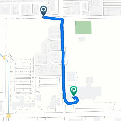
 Family ride today
- Distance
- 12.6 km
- Ascent
- 41 m
- Descent
- 38 m
- Location
- Ellensburg, Washington, United States
 Ellensburg - Selah
- Distance
- 69.5 km
- Ascent
- 1,071 m
- Descent
- 1,292 m
- Location
- Ellensburg, Washington, United States
 North Ellensburg
- Distance
- 52.9 km
- Ascent
- 308 m
- Descent
- 309 m
- Location
- Ellensburg, Washington, United States
 1pm class
- Distance
- 0.6 km
- Ascent
- 8 m
- Descent
- 4 m
- Location
- Ellensburg, Washington, United States
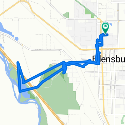
 S Canyon Rd, Ellensburg to Iron Horse Trail, Ellensburg
- Distance
- 51.3 km
- Ascent
- 641 m
- Descent
- 763 m
- Location
- Ellensburg, Washington, United States
 North B Street 1105, Ellensburg to West 11th Avenue 101, Ellensburg
- Distance
- 9.4 km
- Ascent
- 27 m
- Descent
- 32 m
- Location
- Ellensburg, Washington, United States
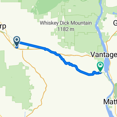
 3 Ellensburg to Othello
- Distance
- 119.3 km
- Ascent
- 926 m
- Descent
- 1,081 m
- Location
- Ellensburg, Washington, United States
Open it in the app