1.1 southern upland way
A cycling route starting in Stranraer, Scotland, United Kingdom.
Overview
About this route
- -:--
- Duration
- 17.1 km
- Distance
- 202 m
- Ascent
- 178 m
- Descent
- ---
- Avg. speed
- 129 m
- Avg. speed
Route quality
Waytypes & surfaces along the route
Waytypes
Road
7 km
(41 %)
Quiet road
6.2 km
(36 %)
Surfaces
Paved
4 km
(24 %)
Unpaved
0.6 km
(4 %)
Asphalt
4 km
(24 %)
Gravel
0.5 km
(3 %)
Continue with Bikemap
Use, edit, or download this cycling route
You would like to ride 1.1 southern upland way or customize it for your own trip? Here is what you can do with this Bikemap route:
Free features
- Save this route as favorite or in collections
- Copy & plan your own version of this route
- Sync your route with Garmin or Wahoo
Premium features
Free trial for 3 days, or one-time payment. More about Bikemap Premium.
- Navigate this route on iOS & Android
- Export a GPX / KML file of this route
- Create your custom printout (try it for free)
- Download this route for offline navigation
Discover more Premium features.
Get Bikemap PremiumFrom our community
Other popular routes starting in Stranraer
- 1.1 southern upland way
- Distance
- 17.1 km
- Ascent
- 202 m
- Descent
- 178 m
- Location
- Stranraer, Scotland, United Kingdom
- voyage2_Ecosse
- Distance
- 1,979.8 km
- Ascent
- 1,663 m
- Descent
- 1,652 m
- Location
- Stranraer, Scotland, United Kingdom
- Barhill and back
- Distance
- 57.2 km
- Ascent
- 395 m
- Descent
- 387 m
- Location
- Stranraer, Scotland, United Kingdom
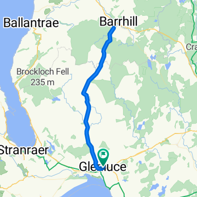
- Glenluce-Newton Stewart-New Luce
- Distance
- 71.4 km
- Ascent
- 376 m
- Descent
- 376 m
- Location
- Stranraer, Scotland, United Kingdom
- NEB Drumore PL loop
- Distance
- 20.6 km
- Ascent
- 3 m
- Descent
- 6 m
- Location
- Stranraer, Scotland, United Kingdom
- take the high road
- Distance
- 88.3 km
- Ascent
- 461 m
- Descent
- 462 m
- Location
- Stranraer, Scotland, United Kingdom
- 1.3 Southern Upland Way
- Distance
- 25.6 km
- Ascent
- 385 m
- Descent
- 340 m
- Location
- Stranraer, Scotland, United Kingdom
- Ride up the coast from Portpatrick and round the top
- Distance
- 42.8 km
- Ascent
- 340 m
- Descent
- 340 m
- Location
- Stranraer, Scotland, United Kingdom