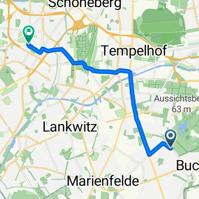
RTF Pirolflug
A cycling route starting in Mariendorf, Land Berlin, Germany.
Overview
About this route
RTF Veranstaltung
Veranstalter TSV Tempelhof-Mariendorf
40 und 70 km Strecke möglich
- -:--
- Duration
- 108.2 km
- Distance
- 198 m
- Ascent
- 199 m
- Descent
- ---
- Avg. speed
- 60 m
- Avg. speed
Route quality
Waytypes & surfaces along the route
Waytypes
Busy road
39.6 km
(37 %)
Quiet road
23.3 km
(22 %)
Surfaces
Paved
94.3 km
(87 %)
Unpaved
4.4 km
(4 %)
Asphalt
84.9 km
(79 %)
Concrete
5.4 km
(5 %)
Continue with Bikemap
Use, edit, or download this cycling route
You would like to ride RTF Pirolflug or customize it for your own trip? Here is what you can do with this Bikemap route:
Free features
- Save this route as favorite or in collections
- Copy & plan your own version of this route
- Sync your route with Garmin or Wahoo
Premium features
Free trial for 3 days, or one-time payment. More about Bikemap Premium.
- Navigate this route on iOS & Android
- Export a GPX / KML file of this route
- Create your custom printout (try it for free)
- Download this route for offline navigation
Discover more Premium features.
Get Bikemap PremiumFrom our community
Other popular routes starting in Mariendorf
- Sonntagsfrust
- Distance
- 45.9 km
- Ascent
- 52 m
- Descent
- 52 m
- Location
- Mariendorf, Land Berlin, Germany
- GA1 Runde
- Distance
- 32.8 km
- Ascent
- 154 m
- Descent
- 146 m
- Location
- Mariendorf, Land Berlin, Germany
- perm Nottefließ
- Distance
- 72.7 km
- Ascent
- 157 m
- Descent
- 165 m
- Location
- Mariendorf, Land Berlin, Germany
- Berlin-Tempelhof--Ruhlsdorf--zurück, die Grosse
- Distance
- 119.6 km
- Ascent
- 230 m
- Descent
- 232 m
- Location
- Mariendorf, Land Berlin, Germany
- RTF Pirolflug
- Distance
- 108.2 km
- Ascent
- 198 m
- Descent
- 199 m
- Location
- Mariendorf, Land Berlin, Germany
- perm Paulshöhe
- Distance
- 70.2 km
- Ascent
- 157 m
- Descent
- 162 m
- Location
- Mariendorf, Land Berlin, Germany
- Grundlagenrunde
- Distance
- 74.8 km
- Ascent
- 106 m
- Descent
- 107 m
- Location
- Mariendorf, Land Berlin, Germany
- Kleine Wannseerunde (Mariendorf - Glienicker Brücke)
- Distance
- 54.2 km
- Ascent
- 202 m
- Descent
- 202 m
- Location
- Mariendorf, Land Berlin, Germany
Open it in the app