Nordschwarzwald mit sanften Anstiegen
A cycling route starting in Neuhausen, Baden-Wurttemberg, Germany.
Overview
About this route
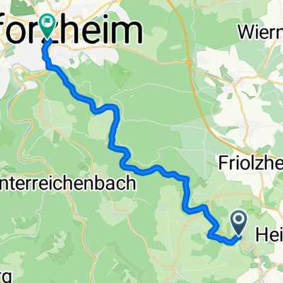
The tour starts in Neuhausen and first leads up to heights and then along the Würmtal towards Weil der Stadt. There, over Aidlingen Dachtel on a beautiful side road to 'Sieben Tannen'. Now into the Black Forest towards Wildberg in the Nagold Valley. Now a small gentle up and down to Kamelhof.. yes, there are actually camels there. Upon arriving in Oberreichenbach, a great descent to Hirsau with two bends, then to Bad Liebenzell. Further up the Monbach Valley on a poor road. Up we go already.. And that’s it.
- -:--
- Duration
- 87.7 km
- Distance
- 1,088 m
- Ascent
- 1,187 m
- Descent
- ---
- Avg. speed
- 762 m
- Max. altitude
Route quality
Waytypes & surfaces along the route
Waytypes
Road
34.2 km
(39 %)
Quiet road
15.8 km
(18 %)
Surfaces
Paved
75.4 km
(86 %)
Unpaved
1.8 km
(2 %)
Asphalt
74.5 km
(85 %)
Gravel
1.8 km
(2 %)
Continue with Bikemap
Use, edit, or download this cycling route
You would like to ride Nordschwarzwald mit sanften Anstiegen or customize it for your own trip? Here is what you can do with this Bikemap route:
Free features
- Save this route as favorite or in collections
- Copy & plan your own version of this route
- Split it into stages to create a multi-day tour
- Sync your route with Garmin or Wahoo
Premium features
Free trial for 3 days, or one-time payment. More about Bikemap Premium.
- Navigate this route on iOS & Android
- Export a GPX / KML file of this route
- Create your custom printout (try it for free)
- Download this route for offline navigation
Discover more Premium features.
Get Bikemap PremiumFrom our community
Other popular routes starting in Neuhausen
- Karl-Lenhardt-Straße 1, Neuhausen nach Karl-Lenhardt-Straße 1, Neuhausen
- Distance
- 9.5 km
- Ascent
- 105 m
- Descent
- 113 m
- Location
- Neuhausen, Baden-Wurttemberg, Germany
- Schluchsee
- Distance
- 170.7 km
- Ascent
- 1,226 m
- Descent
- 765 m
- Location
- Neuhausen, Baden-Wurttemberg, Germany
- Monakam -> Pforzheim und zurück
- Distance
- 40.2 km
- Ascent
- 481 m
- Descent
- 481 m
- Location
- Neuhausen, Baden-Wurttemberg, Germany
- test33
- Distance
- 22.7 km
- Ascent
- 304 m
- Descent
- 302 m
- Location
- Neuhausen, Baden-Wurttemberg, Germany
- Einfache Runde Tiefenbronn - Liebeneck -Würm
- Distance
- 23.4 km
- Ascent
- 446 m
- Descent
- 449 m
- Location
- Neuhausen, Baden-Wurttemberg, Germany
- Richard-Wagner-Straße 18, Neuhausen nach Richard-Wagner-Straße 18, Neuhausen
- Distance
- 52.1 km
- Ascent
- 532 m
- Descent
- 533 m
- Location
- Neuhausen, Baden-Wurttemberg, Germany
- Langwasengäßle 11, Neuhausen nach Langwasengäßle 6, Neuhausen
- Distance
- 7.4 km
- Ascent
- 142 m
- Descent
- 147 m
- Location
- Neuhausen, Baden-Wurttemberg, Germany
- Toll Pforzheim
- Distance
- 23.1 km
- Ascent
- 206 m
- Descent
- 389 m
- Location
- Neuhausen, Baden-Wurttemberg, Germany
Open it in the app