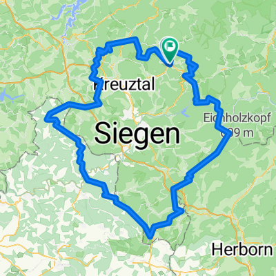
Hilchenbach - Niederfischbach
- 62.5 km
- 1,429 m
- 1,427 m
- Hilchenbach, North Rhine-Westphalia, Germany
A cycling route starting in Hilchenbach, North Rhine-Westphalia, Germany.
Overview
created this 13 years ago
Route quality
Track
104.7 km
(40 %)
Quiet road
57.6 km
(22 %)
Paved
214.6 km
(82 %)
Unpaved
26.2 km
(10 %)
Asphalt
204.1 km
(78 %)
Gravel
20.9 km
(8 %)
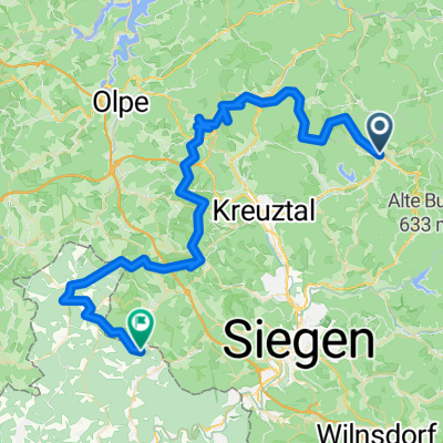
Route highlights

Siegquelle

Ilmquelle am Rothaarsteig

Lahnquelle

Lahnmündung
Continue with Bikemap
You would like to ride LAHN Radweg or customize it for your own trip? Here is what you can do with this Bikemap route:
Free trial for 3 days, or one-time payment. More about Bikemap Premium.
Discover more Premium features.
Get Bikemap PremiumFrom our community
Open it in the app