Col de la Coche
A cycling route starting in Aigueblanche, Auvergne-Rh么ne-Alpes, France.
Overview
About this route
- -:--
- Duration
- 40.5 km
- Distance
- 1,361 m
- Ascent
- 1,361 m
- Descent
- ---
- Avg. speed
- 1,433 m
- Max. altitude
Route quality
Waytypes & surfaces along the route
Waytypes
Quiet road
23.5 km
(58 %)
Access road
1.6 km
(4 %)
Surfaces
Paved
29.9 km
(74 %)
Asphalt
29.9 km
(74 %)
Undefined
10.5 km
(26 %)
Route highlights
Points of interest along the route
Point of interest after 16.2 km
Col de la Coche - 1435 metres
Continue with Bikemap
Use, edit, or download this cycling route
You would like to ride Col de la Coche or customize it for your own trip? Here is what you can do with this Bikemap route:
Free features
- Save this route as favorite or in collections
- Copy & plan your own version of this route
- Sync your route with Garmin or Wahoo
Premium features
Free trial for 3 days, or one-time payment. More about Bikemap Premium.
- Navigate this route on iOS & Android
- Export a GPX / KML file of this route
- Create your custom printout (try it for free)
- Download this route for offline navigation
Discover more Premium features.
Get Bikemap PremiumFrom our community
Other popular routes starting in Aigueblanche
- Chambery Madeleina
- Distance
- 194.7 km
- Ascent
- 1,861 m
- Descent
- 1,861 m
- Location
- Aigueblanche, Auvergne-Rh么ne-Alpes, France
- Courchevel og Col de la Loze
- Distance
- 76.2 km
- Ascent
- 3,190 m
- Descent
- 3,190 m
- Location
- Aigueblanche, Auvergne-Rh么ne-Alpes, France
- Col de la Madeleine. Croix de Fer. Lacets de Montvernier
- Distance
- 74.2 km
- Ascent
- 4,755 m
- Descent
- 4,338 m
- Location
- Aigueblanche, Auvergne-Rh么ne-Alpes, France
- Col de la Coche
- Distance
- 40.5 km
- Ascent
- 1,361 m
- Descent
- 1,361 m
- Location
- Aigueblanche, Auvergne-Rh么ne-Alpes, France
- Stef@ns Tour zur Tour 2004 18.07.04 bis 20.07.04
- Distance
- 154.4 km
- Ascent
- 4,147 m
- Descent
- 2,730 m
- Location
- Aigueblanche, Auvergne-Rh么ne-Alpes, France
- Day 6 #2
- Distance
- 105.8 km
- Ascent
- 3,090 m
- Descent
- 2,777 m
- Location
- Aigueblanche, Auvergne-Rh么ne-Alpes, France
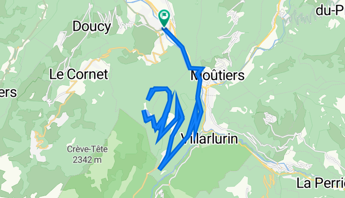
- Radreise Ge-Nice-Ledro, Aigueblanche -St.-Michel-de-Maurienne
- Distance
- 75.7 km
- Ascent
- 1,877 m
- Descent
- 1,627 m
- Location
- Aigueblanche, Auvergne-Rh么ne-Alpes, France
- Stef@ns Tour zur Tour 2004 4. Etappe vom 19.07.04
- Distance
- 67.3 km
- Ascent
- 1,090 m
- Descent
- 1,749 m
- Location
- Aigueblanche, Auvergne-Rh么ne-Alpes, France
Open it in the app