Serre Ponçon N°2(1)96kms 2600D+ ou 80kms D+1900
- 96 km
- 2,916 m
- 2,915 m
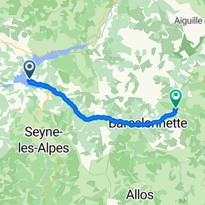
- Chorges, Provence-Alpes-Côte d'Azur Region, France
A cycling route starting in Chorges, Provence-Alpes-Côte d'Azur Region, France.
Overview
created this 2 years ago
Route quality
Road
54.9 km
(63 %)
Quiet road
14.8 km
(17 %)
Undefined
17.4 km
(20 %)
Paved
50.5 km
(58 %)
Asphalt
50.5 km
(58 %)
Undefined
36.6 km
(42 %)
Continue with Bikemap
You would like to ride Serre Ponçon - col de Moissière - 87kms- D+2500 or customize it for your own trip? Here is what you can do with this Bikemap route:
Free trial for 3 days, or one-time payment. More about Bikemap Premium.
Discover more Premium features.
Get Bikemap PremiumFrom our community
Open it in the app