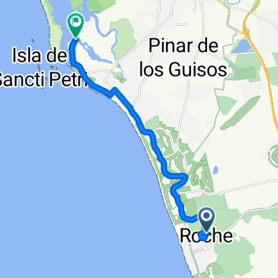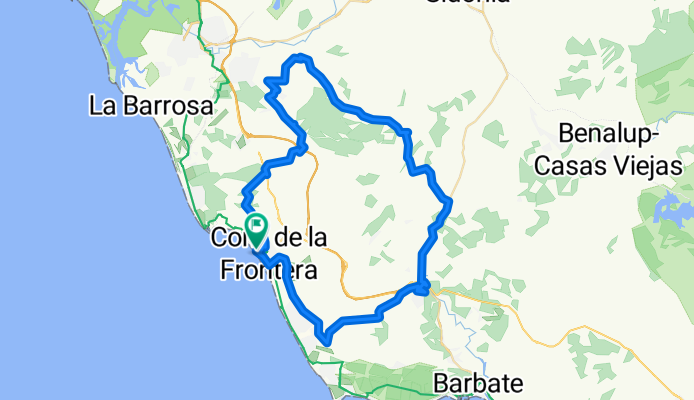


Day Two
- 79.7 km
- 1,072 m
- 814 m
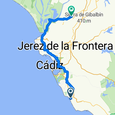
- Conil de la Frontera, Andalusia, Spain
A cycling route starting in Conil de la Frontera, Andalusia, Spain.
Overview
Ride with our favorite bocadillo stop in Los Naveros (a small bar without tourists...)
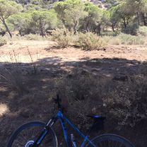
Beautiful rolling hills.
created this 14 years ago
Continue with Bikemap
You would like to ride Bocadillo-Runde or customize it for your own trip? Here is what you can do with this Bikemap route:
Free trial for 3 days, or one-time payment. More about Bikemap Premium.
Discover more Premium features.
Get Bikemap PremiumFrom our community
Open it in the app