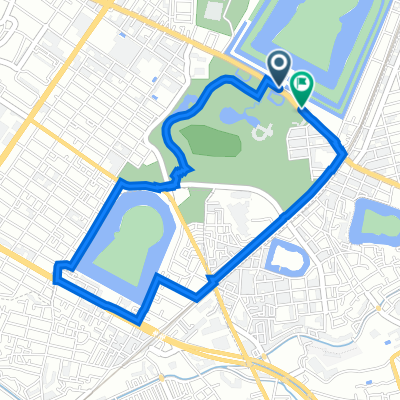
3時間コース 百舌鳥古墳群をとことん味わうコース
- 13.6 km
- 45 m
- 51 m
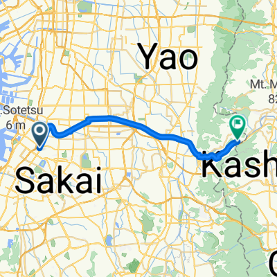
- Sakai, Osaka, Japan
A cycling route starting in Sakai, Osaka, Japan.
Overview
created this 2 years ago
Route quality
Quiet road
4.6 km
(55 %)
Pedestrian area
1.9 km
(22 %)
Paved
1.5 km
(18 %)
Paved (undefined)
0.8 km
(9 %)
Asphalt
0.8 km
(9 %)
Undefined
6.9 km
(82 %)
Continue with Bikemap
You would like to ride 大山公園「伸庵」呈茶コース or customize it for your own trip? Here is what you can do with this Bikemap route:
Free trial for 3 days, or one-time payment. More about Bikemap Premium.
Discover more Premium features.
Get Bikemap PremiumFrom our community
Open it in the app