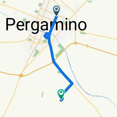
Almirante Brown, Pergamino a Pergamino
- 22.4 km
- 90 m
- 77 m
- Pergamino, Buenos Aires, Argentina
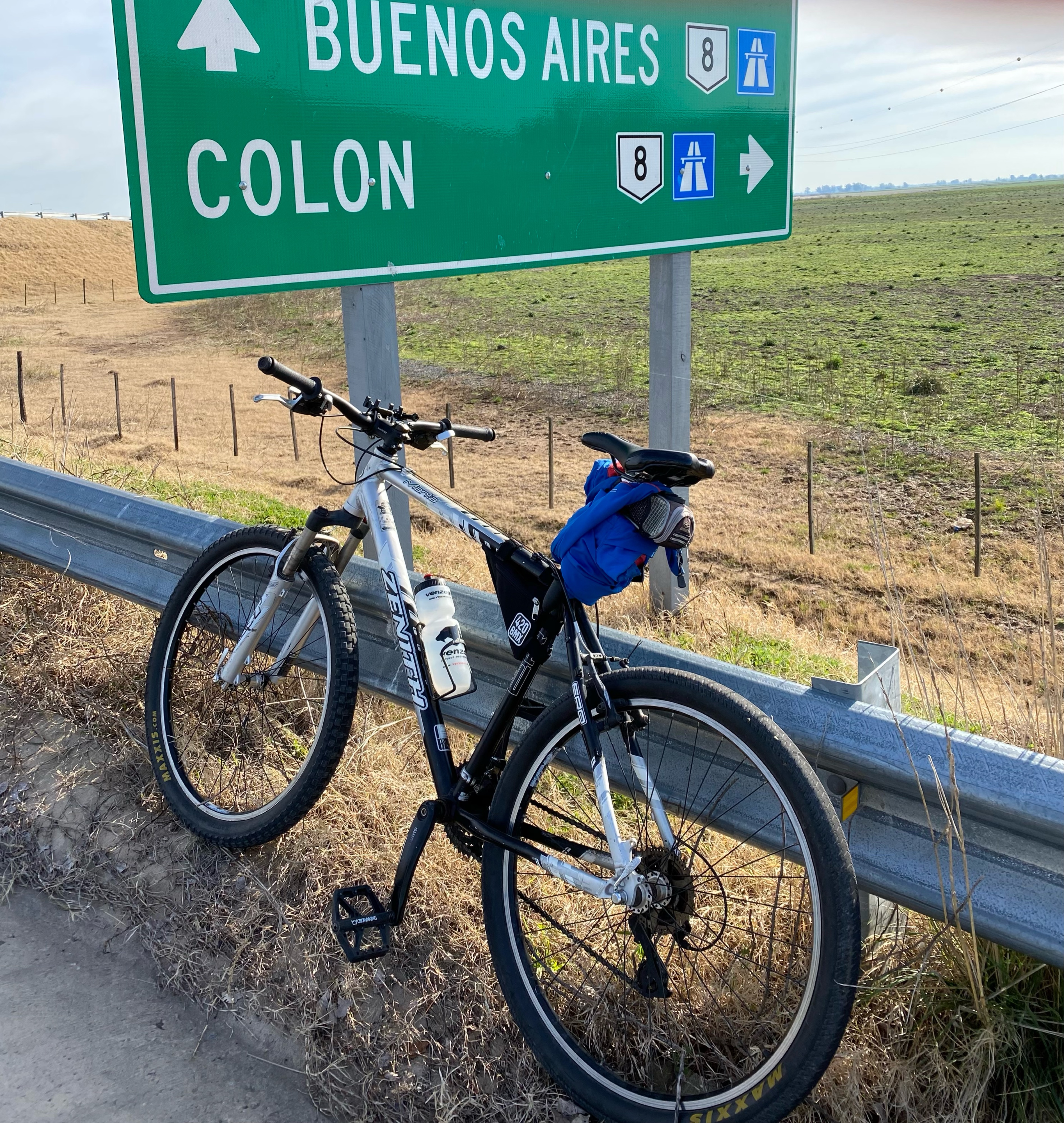
A cycling route starting in Pergamino, Buenos Aires, Argentina.
Overview
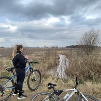
a pleasant route, marked in reverse, from Manuel Ocampo to Pergamino. The trail is all dirt and a bit of gravel until reaching the city, in very good condition in my opinion. The four or 6km close to the city of Pergamino have the route a little more rough and neglected. There are no resupply points. I rode it on December 25th between 11 and 18, with very moderate vehicle traffic.
created this 13 years ago
Route quality
Quiet road
20.9 km
(95 %)
Road
0.7 km
(3 %)
Undefined
0.4 km
(2 %)
Paved
0.7 km
(3 %)
Unpaved
20 km
(91 %)
Unpaved (undefined)
18.9 km
(86 %)
Ground
1.1 km
(5 %)
Route highlights
cruce a nivel. el camino a manuel ocampo sigue la ruta, es de tierra y esta en excelente estado
cruce del rio en la ruta nueva. Unos 20 m antes hay un banco de arena para patinar un poquito en una ruta que me pareció excelente
Continue with Bikemap
You would like to ride la vuelta de pergamino a manuel ocampo. or customize it for your own trip? Here is what you can do with this Bikemap route:
Free trial for 3 days, or one-time payment. More about Bikemap Premium.
Discover more Premium features.
Get Bikemap PremiumFrom our community
Open it in the app