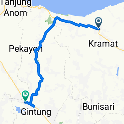
Jakarta-JPG
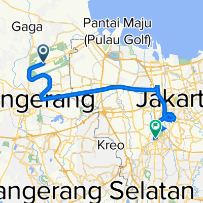
A cycling route starting in Teluknaga, West Java, Indonesia.
Overview
About this route
- -:--
- Duration
- 72.9 km
- Distance
- 60 m
- Ascent
- 61 m
- Descent
- ---
- Avg. speed
- ---
- Avg. speed
Route highlights
Points of interest along the route
Point of interest after 26.8 km
Point of interest after 27 km
Point of interest after 39.2 km
Point of interest after 45.2 km
Point of interest after 47.1 km
Continue with Bikemap
Use, edit, or download this cycling route
You would like to ride Jakarta-JPG or customize it for your own trip? Here is what you can do with this Bikemap route:
Free features
- Save this route as favorite or in collections
- Copy & plan your own version of this route
- Sync your route with Garmin or Wahoo
Premium features
Free trial for 3 days, or one-time payment. More about Bikemap Premium.
- Navigate this route on iOS & Android
- Export a GPX / KML file of this route
- Create your custom printout (try it for free)
- Download this route for offline navigation
Discover more Premium features.
Get Bikemap PremiumFrom our community
Other popular routes starting in Teluknaga
- Jalan Kesayangan Utara 13, Kecamatan Kalideres to Jalan Haji Dul Jiin 9, Kecamatan Kalideres
- Distance
- 6.8 km
- Ascent
- 7 m
- Descent
- 25 m
- Location
- Teluknaga, West Java, Indonesia
- tangerang city
- Distance
- 26.5 km
- Ascent
- 927 m
- Descent
- 935 m
- Location
- Teluknaga, West Java, Indonesia
- PIK-Ancol
- Distance
- 44.2 km
- Ascent
- 53 m
- Descent
- 53 m
- Location
- Teluknaga, West Java, Indonesia
- Rute Gowes Pulau PIK
- Distance
- 17.2 km
- Ascent
- 17 m
- Descent
- 18 m
- Location
- Teluknaga, West Java, Indonesia
- Jakarta-JPG
- Distance
- 72.9 km
- Ascent
- 60 m
- Descent
- 61 m
- Location
- Teluknaga, West Java, Indonesia
- Jak-BSD-Jak
- Distance
- 82.5 km
- Ascent
- 88 m
- Descent
- 90 m
- Location
- Teluknaga, West Java, Indonesia
- Palem-Tj.Kait-Tangerang
- Distance
- 120.2 km
- Ascent
- 59 m
- Descent
- 58 m
- Location
- Teluknaga, West Java, Indonesia
- Jalan Marsekal Surya Darma No.60, Kecamatan Neglasari to Jalan Raya Serang 105, Kecamatan Balaraja
- Distance
- 28.1 km
- Ascent
- 186 m
- Descent
- 176 m
- Location
- Teluknaga, West Java, Indonesia
Open it in the app