Ride Park Mark II
- 34.4 km
- 274 m
- 301 m
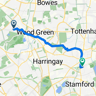
- Wood Green, England, United Kingdom
A cycling route starting in Wood Green, England, United Kingdom.
Overview
mostly minor roads few hills particularly toward end
created this 13 years ago
Route quality
Road
29.9 km
(28 %)
Quiet road
19.2 km
(18 %)
Paved
65.2 km
(61 %)
Asphalt
65.2 km
(61 %)
Undefined
41.7 km
(39 %)
Continue with Bikemap
You would like to ride to be tested or customize it for your own trip? Here is what you can do with this Bikemap route:
Free trial for 3 days, or one-time payment. More about Bikemap Premium.
Discover more Premium features.
Get Bikemap PremiumFrom our community
Open it in the app