

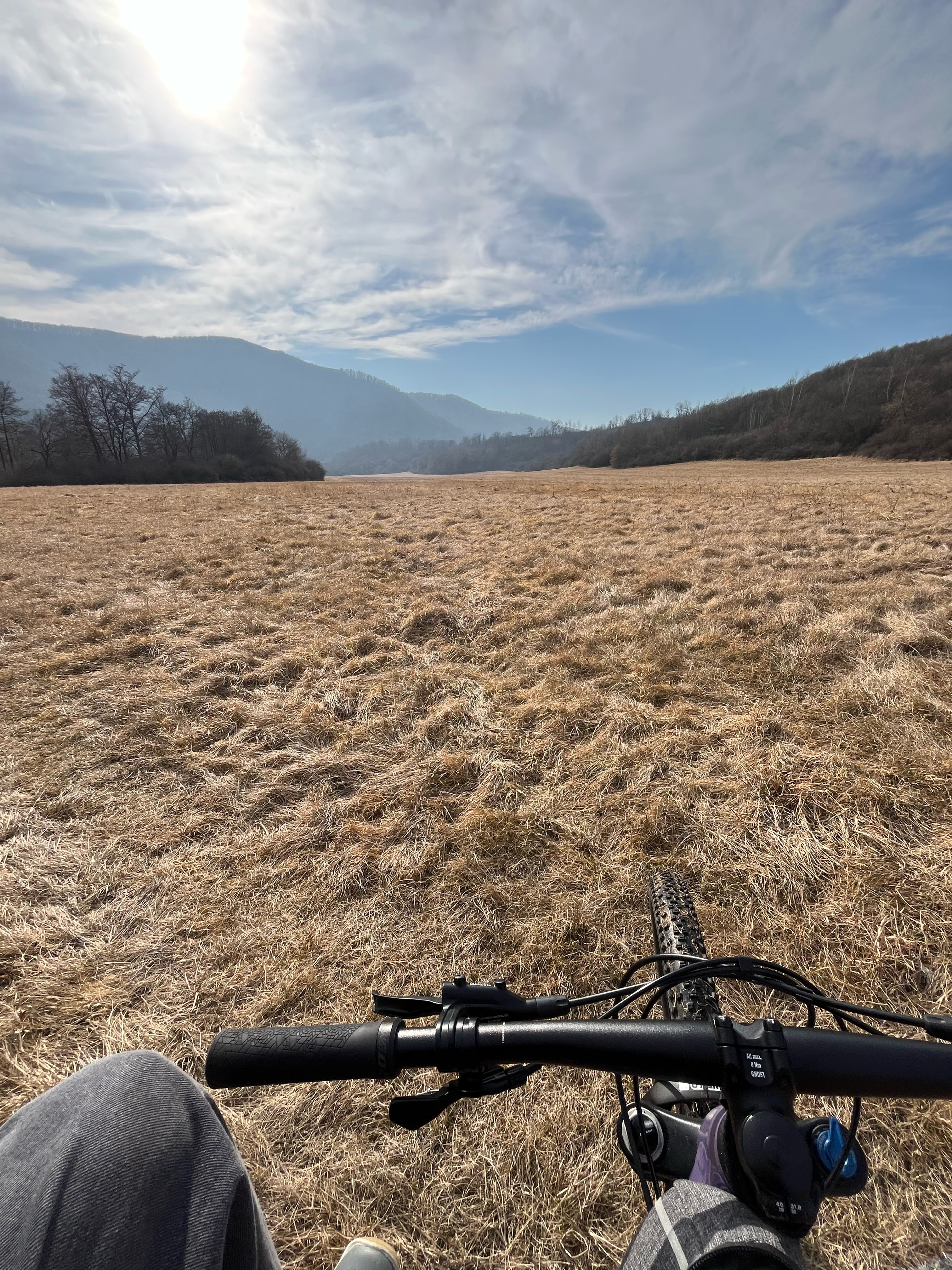
ZV-Vlkanova-Micinske_luky-Sampor-ponad_Sliac-ZV
A cycling route starting in Zvolen, Banská Bystrica Region, Slovakia.
Overview
About this route
- -:--
- Duration
- 37.9 km
- Distance
- 496 m
- Ascent
- 495 m
- Descent
- ---
- Avg. speed
- 539 m
- Max. altitude

Route quality
Waytypes & surfaces along the route
Waytypes
Track
24.2 km
(64 %)
Road
4.5 km
(12 %)
Surfaces
Paved
8 km
(21 %)
Unpaved
20.8 km
(55 %)
Unpaved (undefined)
9.8 km
(26 %)
Asphalt
8 km
(21 %)
Continue with Bikemap
Use, edit, or download this cycling route
You would like to ride ZV-Vlkanova-Micinske_luky-Sampor-ponad_Sliac-ZV or customize it for your own trip? Here is what you can do with this Bikemap route:
Free features
- Save this route as favorite or in collections
- Copy & plan your own version of this route
- Sync your route with Garmin or Wahoo
Premium features
Free trial for 3 days, or one-time payment. More about Bikemap Premium.
- Navigate this route on iOS & Android
- Export a GPX / KML file of this route
- Create your custom printout (try it for free)
- Download this route for offline navigation
Discover more Premium features.
Get Bikemap PremiumFrom our community
Other popular routes starting in Zvolen
 SOFTIP CYKLO TOUR 2017 - Softipácka 25ka
- Distance
- 25.3 km
- Ascent
- 473 m
- Descent
- 471 m
- Location
- Zvolen, Banská Bystrica Region, Slovakia
 ZV-Vlkanova-Micinske_luky-Sampor-ponad_Sliac-ZV
- Distance
- 37.9 km
- Ascent
- 496 m
- Descent
- 495 m
- Location
- Zvolen, Banská Bystrica Region, Slovakia
 Slatinské meandre
- Distance
- 27.8 km
- Ascent
- 498 m
- Descent
- 378 m
- Location
- Zvolen, Banská Bystrica Region, Slovakia
 Zvolen - Sekier - Čertove Kúty - Vígľ.Huta / Kalinka
- Distance
- 18 km
- Ascent
- 538 m
- Descent
- 289 m
- Location
- Zvolen, Banská Bystrica Region, Slovakia
 7. Bacúrov-Zvolen (turistická trasa)
- Distance
- 16.2 km
- Ascent
- 434 m
- Descent
- 592 m
- Location
- Zvolen, Banská Bystrica Region, Slovakia
 Naučný chodník Sliač
- Distance
- 3.9 km
- Ascent
- 98 m
- Descent
- 44 m
- Location
- Zvolen, Banská Bystrica Region, Slovakia
 Okolo priehrady
- Distance
- 8.2 km
- Ascent
- 176 m
- Descent
- 147 m
- Location
- Zvolen, Banská Bystrica Region, Slovakia
 Pred jarkami, Veľká Lúka do Pred jarkami, Veľká Lúka
- Distance
- 43.9 km
- Ascent
- 621 m
- Descent
- 600 m
- Location
- Zvolen, Banská Bystrica Region, Slovakia
Open it in the app