

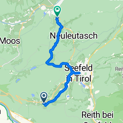
Mösern,Österreich bis Garda,Italien
A cycling route starting in Pettnau, Tyrol, Austria.
Overview
About this route
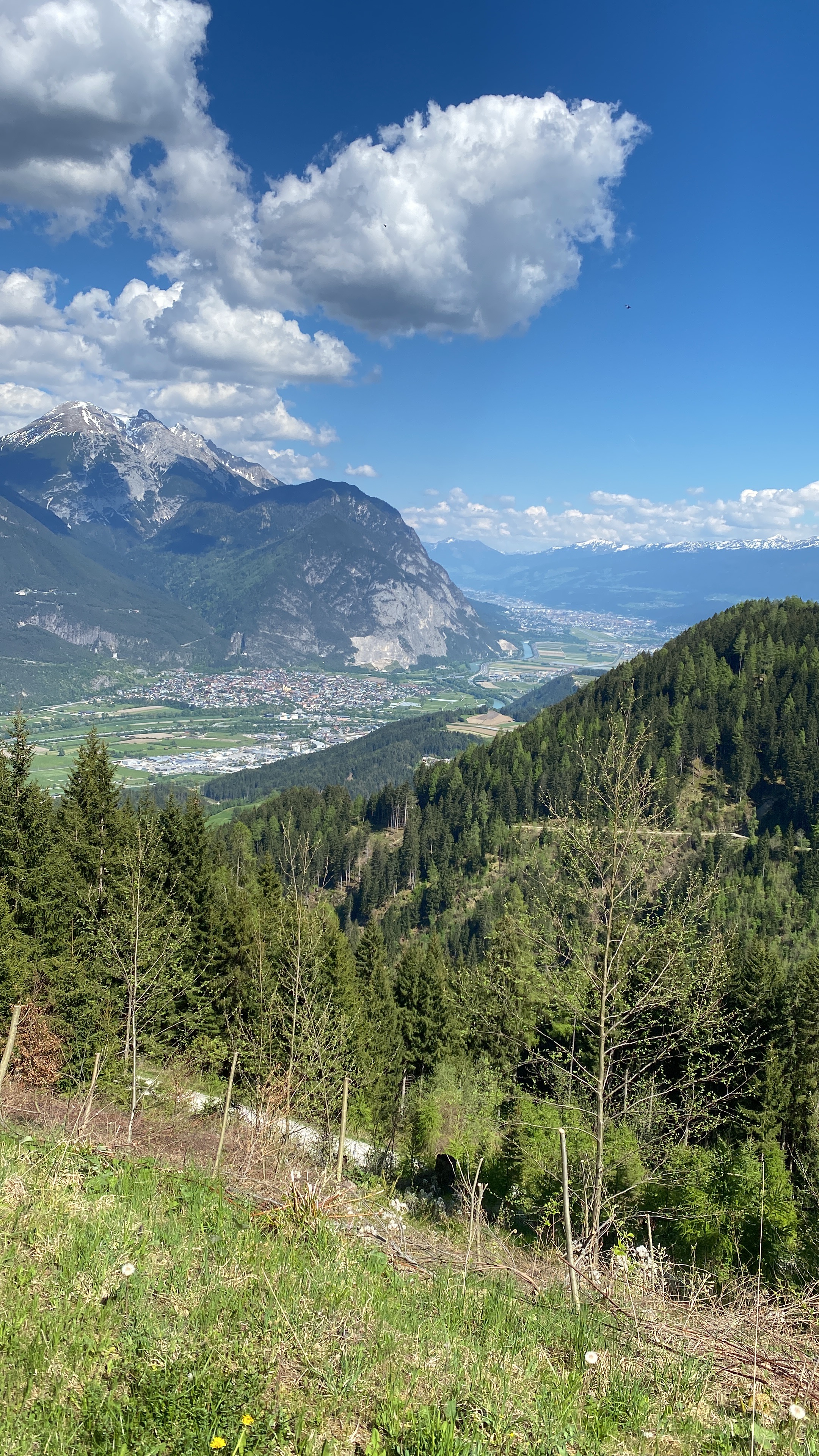
easy Alpine crossing by trekking bike over the Reschen Pass
- -:--
- Duration
- 376.8 km
- Distance
- 1,220 m
- Ascent
- 2,373 m
- Descent
- ---
- Avg. speed
- ---
- Max. altitude
Continue with Bikemap
Use, edit, or download this cycling route
You would like to ride Mösern,Österreich bis Garda,Italien or customize it for your own trip? Here is what you can do with this Bikemap route:
Free features
- Save this route as favorite or in collections
- Copy & plan your own version of this route
- Split it into stages to create a multi-day tour
- Sync your route with Garmin or Wahoo
Premium features
Free trial for 3 days, or one-time payment. More about Bikemap Premium.
- Navigate this route on iOS & Android
- Export a GPX / KML file of this route
- Create your custom printout (try it for free)
- Download this route for offline navigation
Discover more Premium features.
Get Bikemap PremiumFrom our community
Other popular routes starting in Pettnau
 Kaiserhof-Gaistal-Seebensee-Biberwier-Lermoos
- Distance
- 50.3 km
- Ascent
- 911 m
- Descent
- 1,169 m
- Location
- Pettnau, Tyrol, Austria
 Rodelbahn
- Distance
- 12.1 km
- Ascent
- 374 m
- Descent
- 509 m
- Location
- Pettnau, Tyrol, Austria
 2022-09-13 Interalpen Hotel Tyrol - Seebensee und zurück
- Distance
- 44.9 km
- Ascent
- 1,156 m
- Descent
- 1,152 m
- Location
- Pettnau, Tyrol, Austria
 Auweg 47, Flauring nach Wiesenweg 17, Flauring
- Distance
- 23.6 km
- Ascent
- 1,648 m
- Descent
- 1,652 m
- Location
- Pettnau, Tyrol, Austria
 Mösern,Österreich bis Garda,Italien
- Distance
- 376.8 km
- Ascent
- 1,220 m
- Descent
- 2,373 m
- Location
- Pettnau, Tyrol, Austria
 Auweg, Flauring nach Wiesenweg, Flauring
- Distance
- 15 km
- Ascent
- 734 m
- Descent
- 734 m
- Location
- Pettnau, Tyrol, Austria
 Lange Radrunde von Leutasch nach Seefeld in Tirol
- Distance
- 32.2 km
- Ascent
- 435 m
- Descent
- 515 m
- Location
- Pettnau, Tyrol, Austria
 Wiesenweg 16, Flauring nach Wiesenweg 17, Flauring
- Distance
- 33.6 km
- Ascent
- 1,288 m
- Descent
- 1,290 m
- Location
- Pettnau, Tyrol, Austria
Open it in the app