

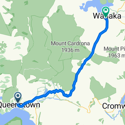
Mt.Deware
A cycling route starting in Queenstown, Otago, New Zealand.
Overview
About this route
some sections near shotover river unridable
- -:--
- Duration
- 30.7 km
- Distance
- 1,380 m
- Ascent
- 1,380 m
- Descent
- ---
- Avg. speed
- ---
- Max. altitude

Continue with Bikemap
Use, edit, or download this cycling route
You would like to ride Mt.Deware or customize it for your own trip? Here is what you can do with this Bikemap route:
Free features
- Save this route as favorite or in collections
- Copy & plan your own version of this route
- Sync your route with Garmin or Wahoo
Premium features
Free trial for 3 days, or one-time payment. More about Bikemap Premium.
- Navigate this route on iOS & Android
- Export a GPX / KML file of this route
- Create your custom printout (try it for free)
- Download this route for offline navigation
Discover more Premium features.
Get Bikemap PremiumFrom our community
Other popular routes starting in Queenstown
 Queenstown to Auckland
- Distance
- 1,713.6 km
- Ascent
- 3,004 m
- Descent
- 3,349 m
- Location
- Queenstown, Otago, New Zealand
 Hilton to Queenstown Gardens The Bath House Cafe
- Distance
- 9.1 km
- Ascent
- 118 m
- Descent
- 110 m
- Location
- Queenstown, Otago, New Zealand
 South Island Tour
- Distance
- 1,126.4 km
- Ascent
- 2,298 m
- Descent
- 2,607 m
- Location
- Queenstown, Otago, New Zealand
 (4h) Qtown / Moke Lake / Arthur-s Point / Qtown
- Distance
- 38.1 km
- Ascent
- 766 m
- Descent
- 778 m
- Location
- Queenstown, Otago, New Zealand
 Queenstown - Wanaka
- Distance
- 69.1 km
- Ascent
- 862 m
- Descent
- 902 m
- Location
- Queenstown, Otago, New Zealand
 Queenstown circle
- Distance
- 56 km
- Ascent
- 451 m
- Descent
- 451 m
- Location
- Queenstown, Otago, New Zealand
 qt-wanaka
- Distance
- 68.9 km
- Ascent
- 878 m
- Descent
- 955 m
- Location
- Queenstown, Otago, New Zealand
 Kelvin Heights to Arrowtown via Twin Rivers Trail
- Distance
- 27 km
- Ascent
- 524 m
- Descent
- 418 m
- Location
- Queenstown, Otago, New Zealand
Open it in the app