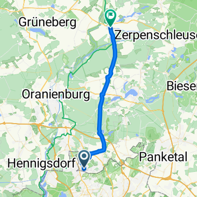
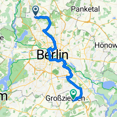
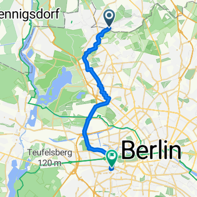
Trainingsstrecke Glienicke-Liebenwalde
A cycling route starting in Glienicke, Brandenburg, Germany.
Overview
About this route
The entire route is well paved, with bike paths present in some areas. It is well suited for bike training due to low traffic. For the most part, the route runs through wooded areas.
- -:--
- Duration
- 30.9 km
- Distance
- 58 m
- Ascent
- 59 m
- Descent
- ---
- Avg. speed
- 66 m
- Max. altitude
Route quality
Waytypes & surfaces along the route
Waytypes
Path
3.4 km
(11 %)
Track
3.1 km
(10 %)
Surfaces
Paved
24.7 km
(80 %)
Unpaved
3.1 km
(10 %)
Asphalt
24.7 km
(80 %)
Loose gravel
3.1 km
(10 %)
Undefined
3.1 km
(10 %)
Continue with Bikemap
Use, edit, or download this cycling route
You would like to ride Trainingsstrecke Glienicke-Liebenwalde or customize it for your own trip? Here is what you can do with this Bikemap route:
Free features
- Save this route as favorite or in collections
- Copy & plan your own version of this route
- Sync your route with Garmin or Wahoo
Premium features
Free trial for 3 days, or one-time payment. More about Bikemap Premium.
- Navigate this route on iOS & Android
- Export a GPX / KML file of this route
- Create your custom printout (try it for free)
- Download this route for offline navigation
Discover more Premium features.
Get Bikemap PremiumFrom our community
Other popular routes starting in Glienicke
- 100 km Tour geschafft
- Distance
- 90.6 km
- Ascent
- 370 m
- Descent
- 363 m
- Location
- Glienicke, Brandenburg, Germany
- Glienicke-Zühlsdorf-Basdorf-Schönwalde-Glienicke
- Distance
- 34.5 km
- Ascent
- 112 m
- Descent
- 115 m
- Location
- Glienicke, Brandenburg, Germany
- Erster Tag zur Ostsee
- Distance
- 120.9 km
- Ascent
- 182 m
- Descent
- 163 m
- Location
- Glienicke, Brandenburg, Germany
- Ostsee
- Distance
- 308.7 km
- Ascent
- 300 m
- Descent
- 332 m
- Location
- Glienicke, Brandenburg, Germany
- Trainingsstrecke Glienicke-Liebenwalde
- Distance
- 30.9 km
- Ascent
- 58 m
- Descent
- 59 m
- Location
- Glienicke, Brandenburg, Germany
- Glienicke-Summt-Zehlendorf-Lanke-Bernau-Schönwalde-Glienicke CLONED FROM ROUTE 135352
- Distance
- 61.3 km
- Ascent
- 135 m
- Descent
- 131 m
- Location
- Glienicke, Brandenburg, Germany
- Berlin-Potsdam-Henningsdorf-Berlin
- Distance
- 112.5 km
- Ascent
- 299 m
- Descent
- 299 m
- Location
- Glienicke, Brandenburg, Germany
- Hochzeitstour v2
- Distance
- 85 km
- Ascent
- 135 m
- Descent
- 135 m
- Location
- Glienicke, Brandenburg, Germany
Open it in the app