

Nochetto a-r
A cycling route starting in Bergamo, Lombardy, Italy.
Overview
About this route
- -:--
- Duration
- 35.9 km
- Distance
- 149 m
- Ascent
- 150 m
- Descent
- ---
- Avg. speed
- 259 m
- Max. altitude

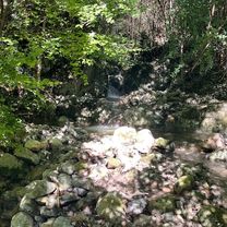
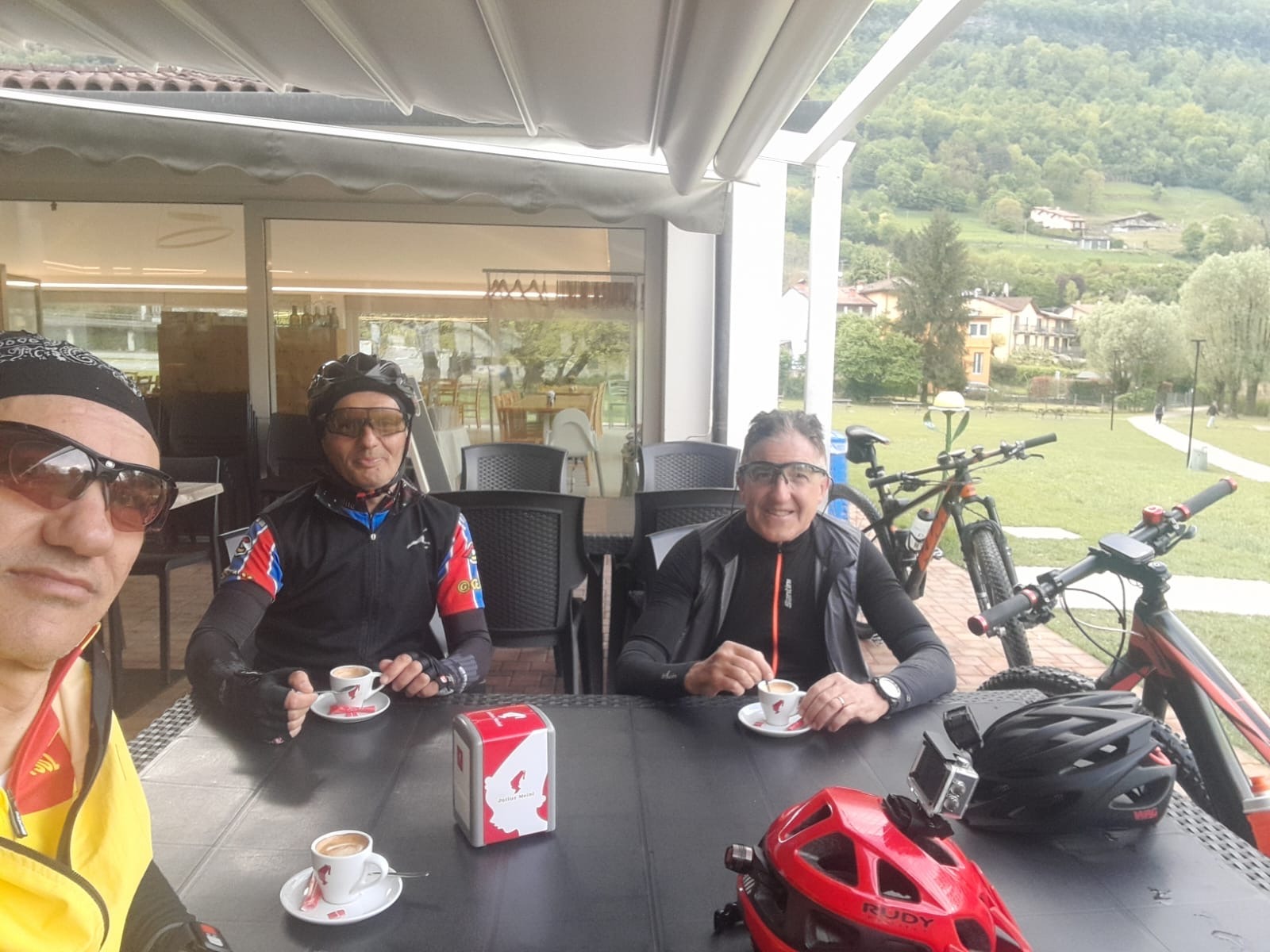
Route photos


Route quality
Waytypes & surfaces along the route
Waytypes
Road
13.3 km
(37 %)
Quiet road
11.9 km
(33 %)
Surfaces
Paved
27 km
(75 %)
Unpaved
1.4 km
(4 %)
Asphalt
25.2 km
(70 %)
Concrete
1.8 km
(5 %)
Continue with Bikemap
Use, edit, or download this cycling route
You would like to ride Nochetto a-r or customize it for your own trip? Here is what you can do with this Bikemap route:
Free features
- Save this route as favorite or in collections
- Copy & plan your own version of this route
- Sync your route with Garmin or Wahoo
Premium features
Free trial for 3 days, or one-time payment. More about Bikemap Premium.
- Navigate this route on iOS & Android
- Export a GPX / KML file of this route
- Create your custom printout (try it for free)
- Download this route for offline navigation
Discover more Premium features.
Get Bikemap PremiumFrom our community
Other popular routes starting in Bergamo
 Parco Dei Colli BG = Val Imagna
- Distance
- 35.4 km
- Ascent
- 366 m
- Descent
- 323 m
- Location
- Bergamo, Lombardy, Italy
 Leffe- San Rocco- Monte Croce- Trate- Colle Gallo
- Distance
- 70.1 km
- Ascent
- 1,378 m
- Descent
- 1,378 m
- Location
- Bergamo, Lombardy, Italy
 bergamo
- Distance
- 53.5 km
- Ascent
- 594 m
- Descent
- 589 m
- Location
- Bergamo, Lombardy, Italy
 Burro
Burro- Distance
- 26.7 km
- Ascent
- 336 m
- Descent
- 317 m
- Location
- Bergamo, Lombardy, Italy
 città alta e discesa da longuelo
- Distance
- 10.3 km
- Ascent
- 205 m
- Descent
- 226 m
- Location
- Bergamo, Lombardy, Italy
 Monasterolo- Buca del Corno- Grena di Zandobbio
- Distance
- 61.6 km
- Ascent
- 686 m
- Descent
- 686 m
- Location
- Bergamo, Lombardy, Italy
 Bergamo Bassa-Bergamo Alta-Paladina-Bergamo
- Distance
- 19.5 km
- Ascent
- 492 m
- Descent
- 491 m
- Location
- Bergamo, Lombardy, Italy
 Pignolo - Bergamo Alta - Paladino - Pignolo
- Distance
- 21.6 km
- Ascent
- 455 m
- Descent
- 452 m
- Location
- Bergamo, Lombardy, Italy
Open it in the app