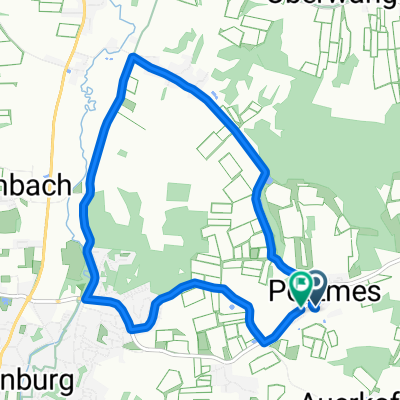
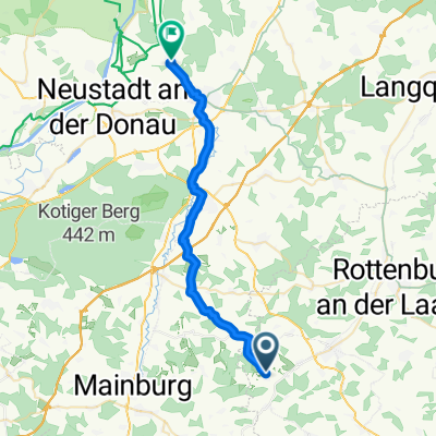
Allakofer Straße 1, Attenhofen nach Weinbergweg, Kelheim
- 41.6 km
- 201 m
- 320 m
- Attenhofen, Bavaria, Germany
A cycling route starting in Attenhofen, Bavaria, Germany.
Overview
created this 2 years ago
Route quality
Quiet road
27.3 km
(55 %)
Road
10.9 km
(22 %)
Paved
28.3 km
(57 %)
Unpaved
2 km
(4 %)
Asphalt
27.8 km
(56 %)
Gravel
2 km
(4 %)
Continue with Bikemap
You would like to ride Abenstal-Halledau-Tour or customize it for your own trip? Here is what you can do with this Bikemap route:
Free trial for 3 days, or one-time payment. More about Bikemap Premium.
Discover more Premium features.
Get Bikemap PremiumFrom our community
Open it in the app