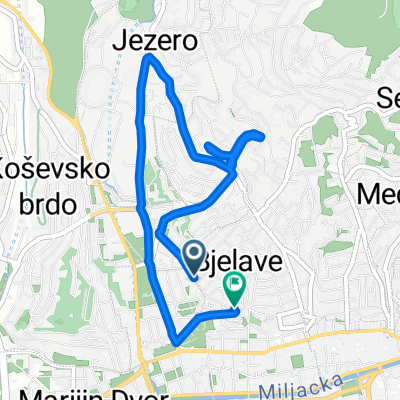
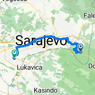
Asphalt_02: Muzej - Dariva - Zmajevac - Chavljak - Sedrenik - Bjelave - Babaloo
A cycling route starting in Kobilja Glava, Federation of Bosnia and Herzegovina, Bosnia and Herzegovina.
Overview
About this route
Mjesovita brdsko-ravnicarska ruta prosjecne tezine, pogodna za nabijanje kondicije ili dnevno bajkanje.
- -:--
- Duration
- 23.5 km
- Distance
- 683 m
- Ascent
- 677 m
- Descent
- ---
- Avg. speed
- ---
- Avg. speed
Route quality
Waytypes & surfaces along the route
Waytypes
Undefined
23.5 km
(100 %)
Surfaces
Undefined
23.5 km
(100 %)
Route highlights
Points of interest along the route
Point of interest after 14.5 km
Chavljak
Continue with Bikemap
Use, edit, or download this cycling route
You would like to ride Asphalt_02: Muzej - Dariva - Zmajevac - Chavljak - Sedrenik - Bjelave - Babaloo or customize it for your own trip? Here is what you can do with this Bikemap route:
Free features
- Save this route as favorite or in collections
- Copy & plan your own version of this route
- Sync your route with Garmin or Wahoo
Premium features
Free trial for 3 days, or one-time payment. More about Bikemap Premium.
- Navigate this route on iOS & Android
- Export a GPX / KML file of this route
- Create your custom printout (try it for free)
- Download this route for offline navigation
Discover more Premium features.
Get Bikemap PremiumFrom our community
Other popular routes starting in Kobilja Glava
- Dvorišta kijevo
- Distance
- 62.4 km
- Ascent
- 536 m
- Descent
- 1,095 m
- Location
- Kobilja Glava, Federation of Bosnia and Herzegovina, Bosnia and Herzegovina
- Dariva
- Distance
- 4.8 km
- Ascent
- 378 m
- Descent
- 253 m
- Location
- Kobilja Glava, Federation of Bosnia and Herzegovina, Bosnia and Herzegovina
- Unnamed Road, Sarajevo to Srebrenička 10, Sarajevo
- Distance
- 17.1 km
- Ascent
- 72 m
- Descent
- 559 m
- Location
- Kobilja Glava, Federation of Bosnia and Herzegovina, Bosnia and Herzegovina
- Škoda XC liga 2013: Sarajevo
- Distance
- 3.3 km
- Ascent
- 131 m
- Descent
- 131 m
- Location
- Kobilja Glava, Federation of Bosnia and Herzegovina, Bosnia and Herzegovina
- sarajevo-pale-sarajevo
- Distance
- 47.1 km
- Ascent
- 1,211 m
- Descent
- 1,237 m
- Location
- Kobilja Glava, Federation of Bosnia and Herzegovina, Bosnia and Herzegovina
- Сарајево - Θεσσαλονίκη
- Distance
- 914.1 km
- Ascent
- 6,076 m
- Descent
- 6,593 m
- Location
- Kobilja Glava, Federation of Bosnia and Herzegovina, Bosnia and Herzegovina
- Breka - Ilidza - Igman - Hadzici - Blazuj - Ilidza - Breka
- Distance
- 78.8 km
- Ascent
- 2,020 m
- Descent
- 2,011 m
- Location
- Kobilja Glava, Federation of Bosnia and Herzegovina, Bosnia and Herzegovina
- Zelenih beretki, Sarajewo nach Slobode, Podgorica
- Distance
- 293.2 km
- Ascent
- 9,801 m
- Descent
- 10,303 m
- Location
- Kobilja Glava, Federation of Bosnia and Herzegovina, Bosnia and Herzegovina