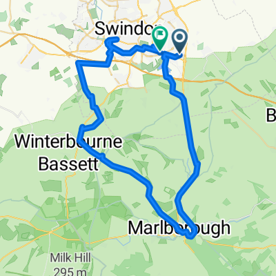
Truman Close, Swindon to Ridge Nether Moor, Swindon
- 49.5 km
- 367 m
- 367 m
- Wanborough, England, United Kingdom
A cycling route starting in Wanborough, England, United Kingdom.
Overview
created this 2 years ago
Route quality
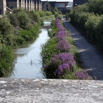
Cycleway
20.3 km
(71 %)
Quiet road
5.4 km
(19 %)
Paved
24.3 km
(85 %)
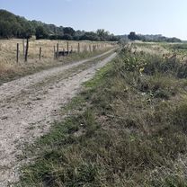
Unpaved
2.9 km
(10 %)
Asphalt
22.3 km
(78 %)
Gravel
2.9 km
(10 %)
Continue with Bikemap
You would like to ride Swindon Inner Ring or customize it for your own trip? Here is what you can do with this Bikemap route:
Free trial for 3 days, or one-time payment. More about Bikemap Premium.
Discover more Premium features.
Get Bikemap PremiumFrom our community
Open it in the app