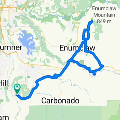
Chief Emmons Lane Northwest, Orting to 108th Avenue East 3106, Edgewood
- 21.8 km
- 91 m
- 31 m
- Orting, Washington, United States
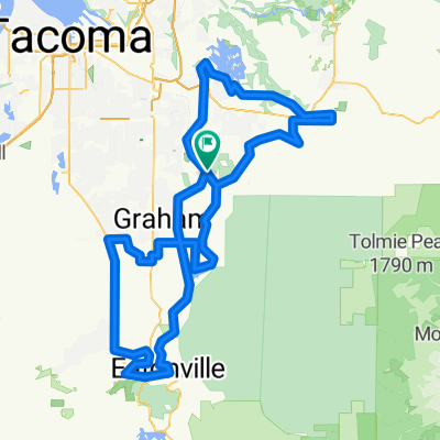
McChord, WA Routes
A cycling route starting in Orting, Washington, United States.
Overview
created this 2 years ago
Part of
12 stages
Route quality
Cycleway
33.2 km
43 %
Quiet road
17.8 km
23 %
Paved
49.4 km
(64 %)
Unpaved
0.8 km
(1 %)
Asphalt
49.4 km
64 %
Ground
0.8 km
1 %
Undefined
27 km
35 %
Continue with Bikemap
You would like to ride Bonney Lake Scenic 50 Miler or customize it for your own trip? Here is what you can do with this Bikemap route:
Free trial for 3 days, or one-time payment. More about Bikemap Premium.
Discover more Premium features.
Get Bikemap PremiumFrom our community
Open it in the app