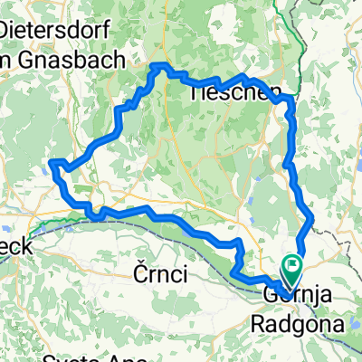
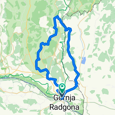
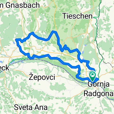
Bad Radkersburg ANRADELN MTB
A cycling route starting in Gornja Radgona, Gornja Radgona, Slovenia.
Overview
About this route
- -:--
- Duration
- 45.1 km
- Distance
- 697 m
- Ascent
- 701 m
- Descent
- ---
- Avg. speed
- 425 m
- Avg. speed
Route quality
Waytypes & surfaces along the route
Waytypes
Track
19 km
(42 %)
Quiet road
13.8 km
(31 %)
Surfaces
Paved
21 km
(47 %)
Unpaved
19.2 km
(43 %)
Asphalt
20.7 km
(46 %)
Ground
7.9 km
(18 %)
Route highlights
Points of interest along the route
Photo after 26.8 km
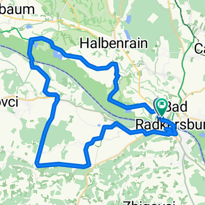
Weinbauort Klöch in der Region Bad Radkersburg
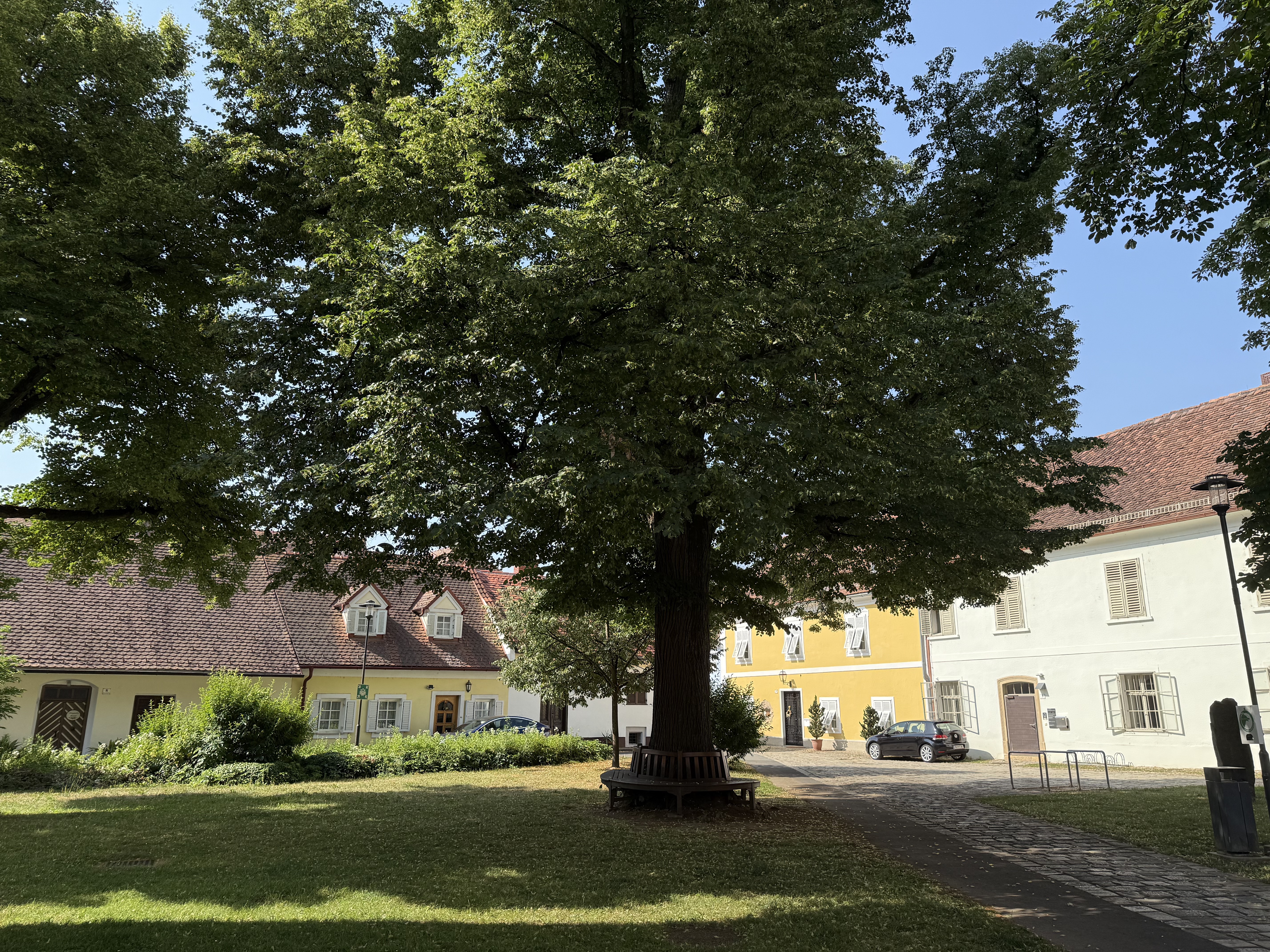
Continue with Bikemap
Use, edit, or download this cycling route
You would like to ride Bad Radkersburg ANRADELN MTB or customize it for your own trip? Here is what you can do with this Bikemap route:
Free features
- Save this route as favorite or in collections
- Copy & plan your own version of this route
- Sync your route with Garmin or Wahoo
Premium features
Free trial for 3 days, or one-time payment. More about Bikemap Premium.
- Navigate this route on iOS & Android
- Export a GPX / KML file of this route
- Create your custom printout (try it for free)
- Download this route for offline navigation
Discover more Premium features.
Get Bikemap PremiumFrom our community
Other popular routes starting in Gornja Radgona
- BadRadkersburg BdGleichenbg
- Distance
- 63.5 km
- Ascent
- 306 m
- Descent
- 308 m
- Location
- Gornja Radgona, Gornja Radgona, Slovenia
- Bad Radkersburg nach Leibnitz
- Distance
- 62 km
- Ascent
- 605 m
- Descent
- 551 m
- Location
- Gornja Radgona, Gornja Radgona, Slovenia
- Bad Radkersburg ANRADELN MTB
- Distance
- 41 km
- Ascent
- 454 m
- Descent
- 456 m
- Location
- Gornja Radgona, Gornja Radgona, Slovenia
- Obmurka
- Distance
- 99.1 km
- Ascent
- 82 m
- Descent
- 81 m
- Location
- Gornja Radgona, Gornja Radgona, Slovenia
- 55 km radkersburg-verzej-radkersburg
- Distance
- 54.8 km
- Ascent
- 168 m
- Descent
- 168 m
- Location
- Gornja Radgona, Gornja Radgona, Slovenia
- Klöcher Weinstraße
- Distance
- 47.4 km
- Ascent
- 357 m
- Descent
- 355 m
- Location
- Gornja Radgona, Gornja Radgona, Slovenia
- 4. Bad Radkersburg - Škofja Vas, Celje - 98km
- Distance
- 97.9 km
- Ascent
- 726 m
- Descent
- 679 m
- Location
- Gornja Radgona, Gornja Radgona, Slovenia
- Gornja Radgona 4 drzave
- Distance
- 175.8 km
- Ascent
- 1,469 m
- Descent
- 1,470 m
- Location
- Gornja Radgona, Gornja Radgona, Slovenia
Open it in the app