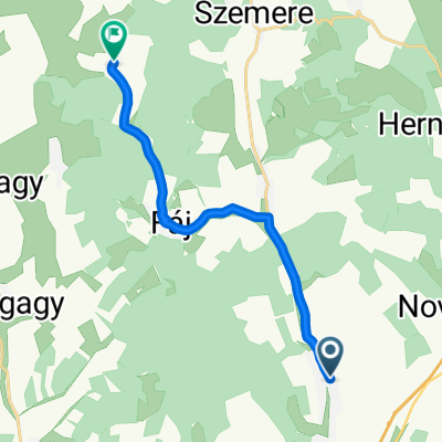
Forró-Encs v.á.--Szabolcs--Tarcal
- 76 km
- 275 m
- 280 m
- Encs, Borsod-Abauj Zemplen county, Hungary
A cycling route starting in Encs, Borsod-Abauj Zemplen county, Hungary.
Overview
Forró-Encs v.á.
Gibárt
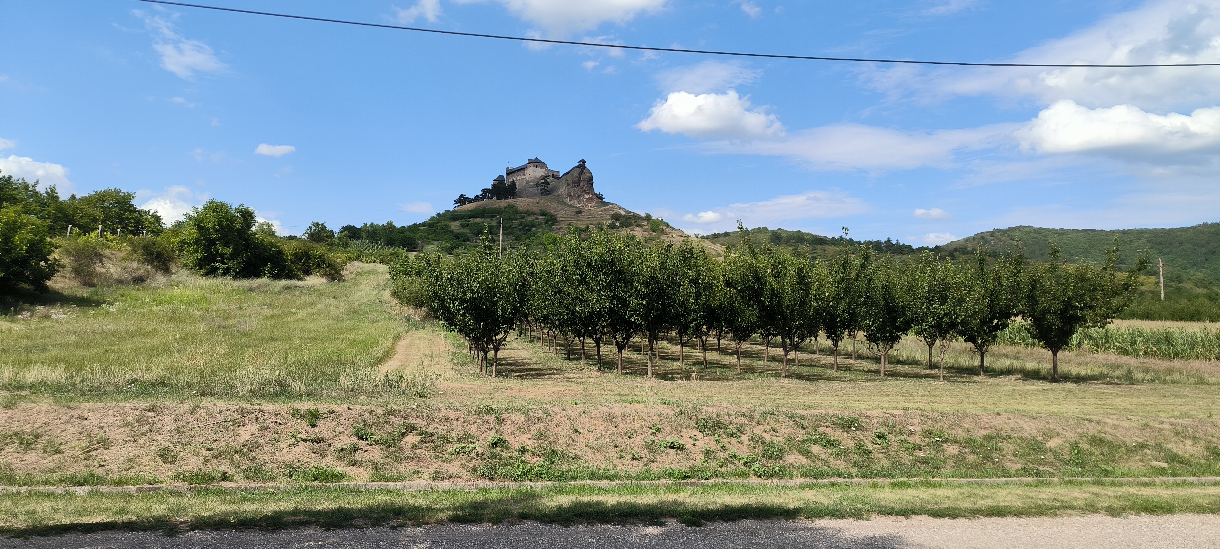
Erdőbénye
Bodrogkieresztúr
Szabolcs
Tarcal
created this 13 years ago
Continue with Bikemap
You would like to ride Forró-Encs v.á.--Szabolcs--Tarcal or customize it for your own trip? Here is what you can do with this Bikemap route:
Free trial for 3 days, or one-time payment. More about Bikemap Premium.
Discover more Premium features.
Get Bikemap PremiumFrom our community
Open it in the app