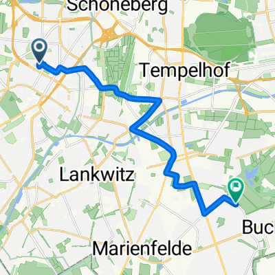
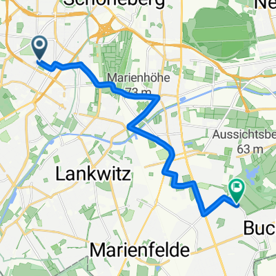
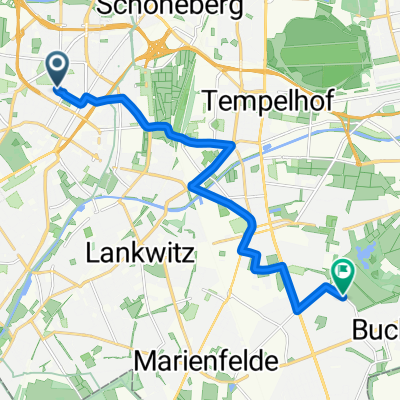
adfc Sternfahrt 2013 / 16. Route Bundesplatz
A cycling route starting in Friedenau, State of Berlin, Germany.
Overview
About this route
- -:--
- Duration
- 41.2 km
- Distance
- 81 m
- Ascent
- 90 m
- Descent
- ---
- Avg. speed
- ---
- Max. altitude
Route quality
Waytypes & surfaces along the route
Waytypes
Cycleway
9.1 km
(22 %)
Road
6.6 km
(16 %)
Surfaces
Paved
30.1 km
(73 %)
Asphalt
29.3 km
(71 %)
Concrete
0.8 km
(2 %)
Undefined
11.1 km
(27 %)
Route highlights
Points of interest along the route
Point of interest after 2 km
Treffpunkt 10.30 Bhf. Rathaus Steglitz
Point of interest after 5 km
Treffpunkt 10.45 S-Bhf. Lankwitz
Point of interest after 6.9 km
Point of interest after 12.3 km
Treffpunkt 11.20 Teltow, Ruhlsdorfer Platz
Point of interest after 15.4 km
Treffpunkt 11.40 Kleinmachnow, Thomas-Müntzer-Damm/Zehlendorfer damm
Point of interest after 18.3 km
Treffpunkt 12.00 S-Bhf Zehlendorf
Point of interest after 34 km
Treffpunkt 13.20 S-Bhf. Messe Nord / ICC
Point of interest after 41.2 km
Ziel 14.00 BUND Umweltfest
Continue with Bikemap
Use, edit, or download this cycling route
You would like to ride adfc Sternfahrt 2013 / 16. Route Bundesplatz or customize it for your own trip? Here is what you can do with this Bikemap route:
Free features
- Save this route as favorite or in collections
- Copy & plan your own version of this route
- Sync your route with Garmin or Wahoo
Premium features
Free trial for 3 days, or one-time payment. More about Bikemap Premium.
- Navigate this route on iOS & Android
- Export a GPX / KML file of this route
- Create your custom printout (try it for free)
- Download this route for offline navigation
Discover more Premium features.
Get Bikemap PremiumFrom our community
Other popular routes starting in Friedenau
He-GliB-Grieb-He- Distance
- 49.8 km
- Ascent
- 287 m
- Descent
- 289 m
- Location
- Friedenau, State of Berlin, Germany
Nachtfahrt Rennrad/Südwest- Distance
- 26.9 km
- Ascent
- 70 m
- Descent
- 67 m
- Location
- Friedenau, State of Berlin, Germany
Feierabendrunde über Gröben & Ludwigsfelde- Distance
- 68.7 km
- Ascent
- 95 m
- Descent
- 91 m
- Location
- Friedenau, State of Berlin, Germany
Friedenau - Friedenau(Havelchausse; 36 KM)- Distance
- 36.4 km
- Ascent
- 151 m
- Descent
- 150 m
- Location
- Friedenau, State of Berlin, Germany
Friedenau-Trebbin- Distance
- 85.5 km
- Ascent
- 88 m
- Descent
- 86 m
- Location
- Friedenau, State of Berlin, Germany
Dobbrikow kurz- Distance
- 97.9 km
- Ascent
- 132 m
- Descent
- 131 m
- Location
- Friedenau, State of Berlin, Germany
Friedenau-Grunewaldturm-Friedenau- Distance
- 28.7 km
- Ascent
- 177 m
- Descent
- 174 m
- Location
- Friedenau, State of Berlin, Germany
S/U Bundesplatz - S Zehlendorf - Tremsdorf - Dobbrikow - Trebbin - Riesengroßbeuthen - Nudow - Drewitz - S Wannsee- Distance
- 94.1 km
- Ascent
- 124 m
- Descent
- 124 m
- Location
- Friedenau, State of Berlin, Germany
Open it in the app

