150 - 17 - Aix-les-Bains - Flaine
- 207.5 km
- 5,634 m
- 4,279 m
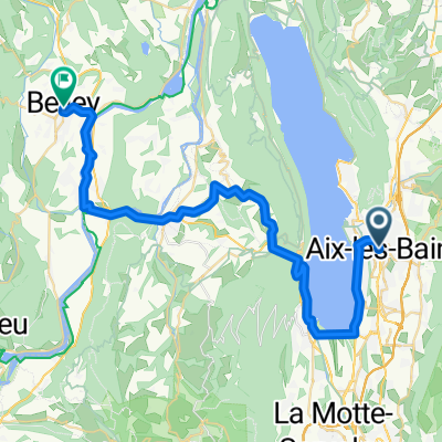
- Aix-les-Bains, Auvergne-Rhône-Alpes, France
A cycling route starting in Aix-les-Bains, Auvergne-Rhône-Alpes, France.
Overview
route from the Aix-les-Bains hostel to the Grenoble hostel
created this 2 years ago
Route quality
Quiet road
27.5 km
(35 %)
Path
24.4 km
(31 %)
Paved
66 km
(84 %)
Unpaved
0.8 km
(1 %)
Asphalt
65.2 km
(83 %)
Paved (undefined)
0.8 km
(1 %)
Continue with Bikemap
You would like to ride droga z Aix-les-Bains do Grenoble or customize it for your own trip? Here is what you can do with this Bikemap route:
Free trial for 3 days, or one-time payment. More about Bikemap Premium.
Discover more Premium features.
Get Bikemap PremiumFrom our community
Open it in the app