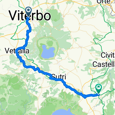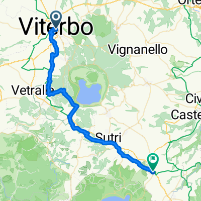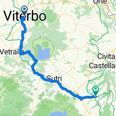
Viterbo - Mazzano Romano
- 51.5 km
- 755 m
- 877 m
- Viterbo, Lazio, Italy
A cycling route starting in Viterbo, Lazio, Italy.
Overview
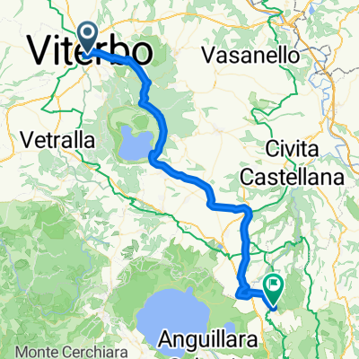
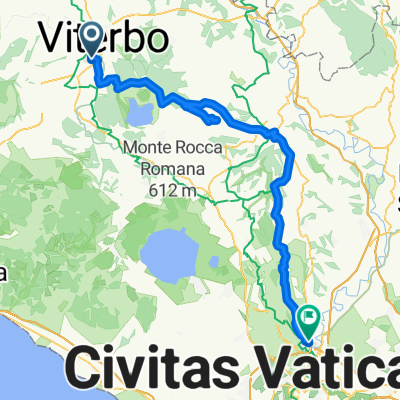
Viterbo Radicofani
created this 2 years ago
Route quality
Quiet road
27.1 km
(31 %)
Track
21 km
(24 %)
Paved
41.1 km
(47 %)
Unpaved
33.2 km
(38 %)
Asphalt
40.2 km
(46 %)
Gravel
17.5 km
(20 %)
Continue with Bikemap
You would like to ride Viterbo Radicofani or customize it for your own trip? Here is what you can do with this Bikemap route:
Free trial for 3 days, or one-time payment. More about Bikemap Premium.
Discover more Premium features.
Get Bikemap PremiumFrom our community
Open it in the app