

Schlöglmühl Bahnhstation - Schwarzatal Radweg - Ternitz Radweg - Hohe Wand Radweg - Puchegger Wirt - Piesingtalradweg - Felixdorf Bahnhof
A cycling route starting in Gloggnitz, Lower Austria, Austria.
Overview
About this route
- 4 h 23 min
- Duration
- 47.7 km
- Distance
- 361 m
- Ascent
- 537 m
- Descent
- 10.9 km/h
- Avg. speed
- 486 m
- Max. altitude
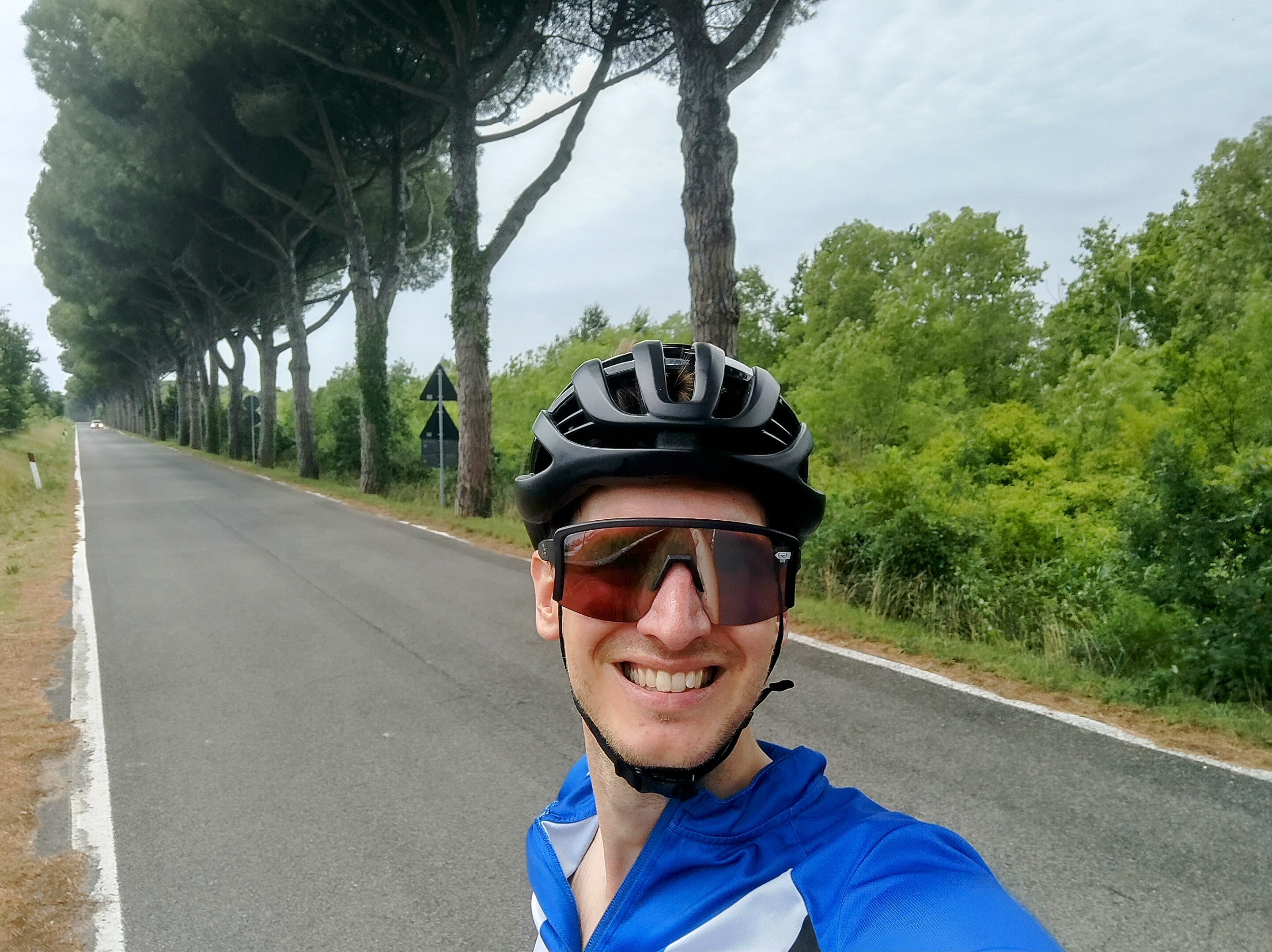
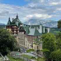
Route photos


Route quality
Waytypes & surfaces along the route
Waytypes
Quiet road
18.1 km
(38 %)
Cycleway
9.5 km
(20 %)
Surfaces
Paved
36.3 km
(76 %)
Unpaved
3.3 km
(7 %)
Asphalt
36.3 km
(76 %)
Unpaved (undefined)
1.4 km
(3 %)
Continue with Bikemap
Use, edit, or download this cycling route
You would like to ride Schlöglmühl Bahnhstation - Schwarzatal Radweg - Ternitz Radweg - Hohe Wand Radweg - Puchegger Wirt - Piesingtalradweg - Felixdorf Bahnhof or customize it for your own trip? Here is what you can do with this Bikemap route:
Free features
- Save this route as favorite or in collections
- Copy & plan your own version of this route
- Sync your route with Garmin or Wahoo
Premium features
Free trial for 3 days, or one-time payment. More about Bikemap Premium.
- Navigate this route on iOS & Android
- Export a GPX / KML file of this route
- Create your custom printout (try it for free)
- Download this route for offline navigation
Discover more Premium features.
Get Bikemap PremiumFrom our community
Other popular routes starting in Gloggnitz
 Semmering!
- Distance
- 79.9 km
- Ascent
- 1,708 m
- Descent
- 1,708 m
- Location
- Gloggnitz, Lower Austria, Austria
 Weltkulturerbe Route von Gloggnitz Bahnhof auf den Semmering
- Distance
- 36.2 km
- Ascent
- 1,022 m
- Descent
- 1,021 m
- Location
- Gloggnitz, Lower Austria, Austria
 Gloggnitz - Semmering - Pfaffensattel - Feistritzsattel
- Distance
- 119.3 km
- Ascent
- 2,369 m
- Descent
- 2,369 m
- Location
- Gloggnitz, Lower Austria, Austria
 Semmering 5
- Distance
- 71.6 km
- Ascent
- 1,023 m
- Descent
- 1,023 m
- Location
- Gloggnitz, Lower Austria, Austria
 Gloggnitz Kreuzberg
- Distance
- 28.6 km
- Ascent
- 1,107 m
- Descent
- 1,105 m
- Location
- Gloggnitz, Lower Austria, Austria
 Okolo Semmeringu 2
- Distance
- 71.3 km
- Ascent
- 1,664 m
- Descent
- 1,662 m
- Location
- Gloggnitz, Lower Austria, Austria
 Semmering
- Distance
- 103.1 km
- Ascent
- 2,988 m
- Descent
- 2,817 m
- Location
- Gloggnitz, Lower Austria, Austria
 Gloggnitz-Rettenegg-Semmering-Payerbach-Gloggnitz
- Distance
- 86.9 km
- Ascent
- 1,798 m
- Descent
- 1,798 m
- Location
- Gloggnitz, Lower Austria, Austria
Open it in the app