

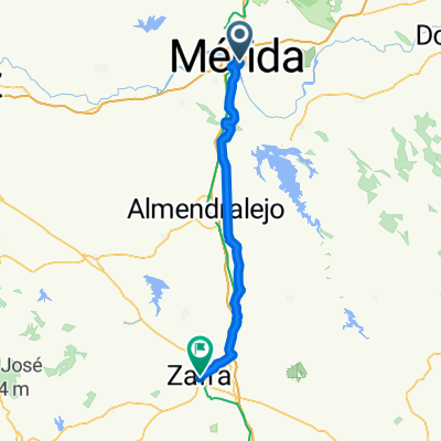
Day 7 | Merida to La Albuera
A cycling route starting in Mérida, Extremadura, Spain.
Overview
About this route
- 1 h 49 min
- Duration
- 74.1 km
- Distance
- 245 m
- Ascent
- 215 m
- Descent
- 40.8 km/h
- Avg. speed
- 275 m
- Max. altitude

Route photos


Route quality
Waytypes & surfaces along the route
Waytypes
Road
36.3 km
(49 %)
Quiet road
24.5 km
(33 %)
Surfaces
Paved
21.5 km
(29 %)
Unpaved
0.7 km
(1 %)
Asphalt
18.5 km
(25 %)
Paved (undefined)
3 km
(4 %)
Continue with Bikemap
Use, edit, or download this cycling route
You would like to ride Day 7 | Merida to La Albuera or customize it for your own trip? Here is what you can do with this Bikemap route:
Free features
- Save this route as favorite or in collections
- Copy & plan your own version of this route
- Sync your route with Garmin or Wahoo
Premium features
Free trial for 3 days, or one-time payment. More about Bikemap Premium.
- Navigate this route on iOS & Android
- Export a GPX / KML file of this route
- Create your custom printout (try it for free)
- Download this route for offline navigation
Discover more Premium features.
Get Bikemap PremiumFrom our community
Other popular routes starting in Mérida
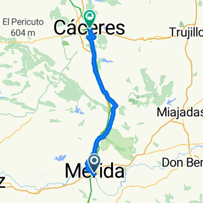 Ruta de la Plata - Merida-Caceres
- Distance
- 81.5 km
- Ascent
- 707 m
- Descent
- 507 m
- Location
- Mérida, Extremadura, Spain
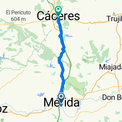 From Mérida to Cáceres
- Distance
- 77 km
- Ascent
- 836 m
- Descent
- 616 m
- Location
- Mérida, Extremadura, Spain
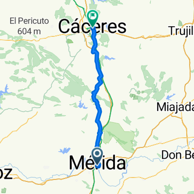
 Vía de la Plata 3: Mérida - Casar de Cáceres
- Distance
- 79.9 km
- Ascent
- 539 m
- Descent
- 403 m
- Location
- Mérida, Extremadura, Spain
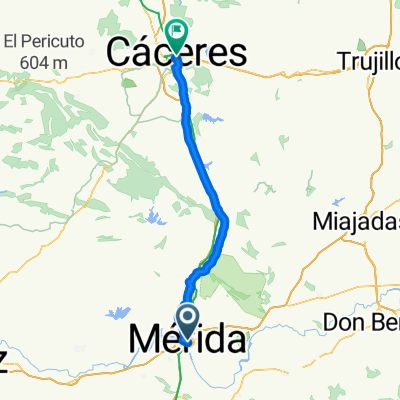
 From Mérida to Cáceres
- Distance
- 80.5 km
- Ascent
- 944 m
- Descent
- 725 m
- Location
- Mérida, Extremadura, Spain
 Mérida-Mérida
- Distance
- 29.7 km
- Ascent
- 258 m
- Descent
- 259 m
- Location
- Mérida, Extremadura, Spain
 Mérida-Cáceres
- Distance
- 73.7 km
- Ascent
- 507 m
- Descent
- 274 m
- Location
- Mérida, Extremadura, Spain
 Zafra - Mérida
- Distance
- 66.2 km
- Ascent
- 617 m
- Descent
- 333 m
- Location
- Mérida, Extremadura, Spain
 Mérida-Proserpina-Cornalvo-Guadiana-Mérida
- Distance
- 48.6 km
- Ascent
- 382 m
- Descent
- 382 m
- Location
- Mérida, Extremadura, Spain
Open it in the app