Gowes to Kalibendo 11012012
A cycling route starting in Kebunjeruk, East Java, Indonesia.
Overview
About this route
Gowes bareng BMBC mencari rute untuk HUT menuju Kalibendo via Taman Suruh.
- -:--
- Duration
- 35.6 km
- Distance
- 594 m
- Ascent
- 594 m
- Descent
- ---
- Avg. speed
- ---
- Avg. speed
Route quality
Waytypes & surfaces along the route
Waytypes
Undefined
35.6 km
(100 %)
Surfaces
Undefined
35.6 km
(100 %)
Continue with Bikemap
Use, edit, or download this cycling route
You would like to ride Gowes to Kalibendo 11012012 or customize it for your own trip? Here is what you can do with this Bikemap route:
Free features
- Save this route as favorite or in collections
- Copy & plan your own version of this route
- Sync your route with Garmin or Wahoo
Premium features
Free trial for 3 days, or one-time payment. More about Bikemap Premium.
- Navigate this route on iOS & Android
- Export a GPX / KML file of this route
- Create your custom printout (try it for free)
- Download this route for offline navigation
Discover more Premium features.
Get Bikemap PremiumFrom our community
Other popular routes starting in Kebunjeruk
- Jalur Sengonan Kalipuro - Banyuwangi
- Distance
- 17.6 km
- Ascent
- 170 m
- Descent
- 170 m
- Location
- Kebunjeruk, East Java, Indonesia
- Gowes ke Pantai Bengkak & Watudodol
- Distance
- 42.3 km
- Ascent
- 116 m
- Descent
- 116 m
- Location
- Kebunjeruk, East Java, Indonesia
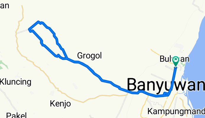
- Hutan Jati Lerek 14012012
- Distance
- 38.3 km
- Ascent
- 481 m
- Descent
- 481 m
- Location
- Kebunjeruk, East Java, Indonesia
- Jalur Pipa Air - Sumber Air Penawar
- Distance
- 31.3 km
- Ascent
- 301 m
- Descent
- 301 m
- Location
- Kebunjeruk, East Java, Indonesia
- Offroad Track to Kalipuro Sengon Forest
- Distance
- 17.6 km
- Ascent
- 126 m
- Descent
- 126 m
- Location
- Kebunjeruk, East Java, Indonesia
- Jalur Sutet Kalipuro - 17022012
- Distance
- 20.2 km
- Ascent
- 276 m
- Descent
- 276 m
- Location
- Kebunjeruk, East Java, Indonesia
- Gowes to Kalibendo 11012012
- Distance
- 35.6 km
- Ascent
- 594 m
- Descent
- 594 m
- Location
- Kebunjeruk, East Java, Indonesia
- Sebani 11022012
- Distance
- 34.6 km
- Ascent
- 667 m
- Descent
- 667 m
- Location
- Kebunjeruk, East Java, Indonesia