

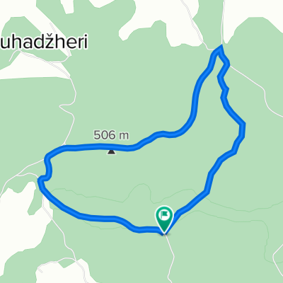
Cazin(restoran Papilon)-Hairlahov.brdo-Koprivna-Krecane-Koliste
A cycling route starting in Cazin, Federation of Bosnia and Herzegovina, Bosnia and Herzegovina.
Overview
About this route
- 2 h 29 min
- Duration
- 17.5 km
- Distance
- 437 m
- Ascent
- 439 m
- Descent
- 7.1 km/h
- Avg. speed
- 512 m
- Max. altitude

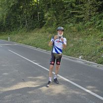
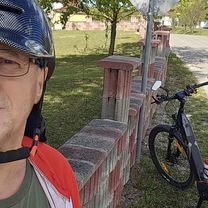
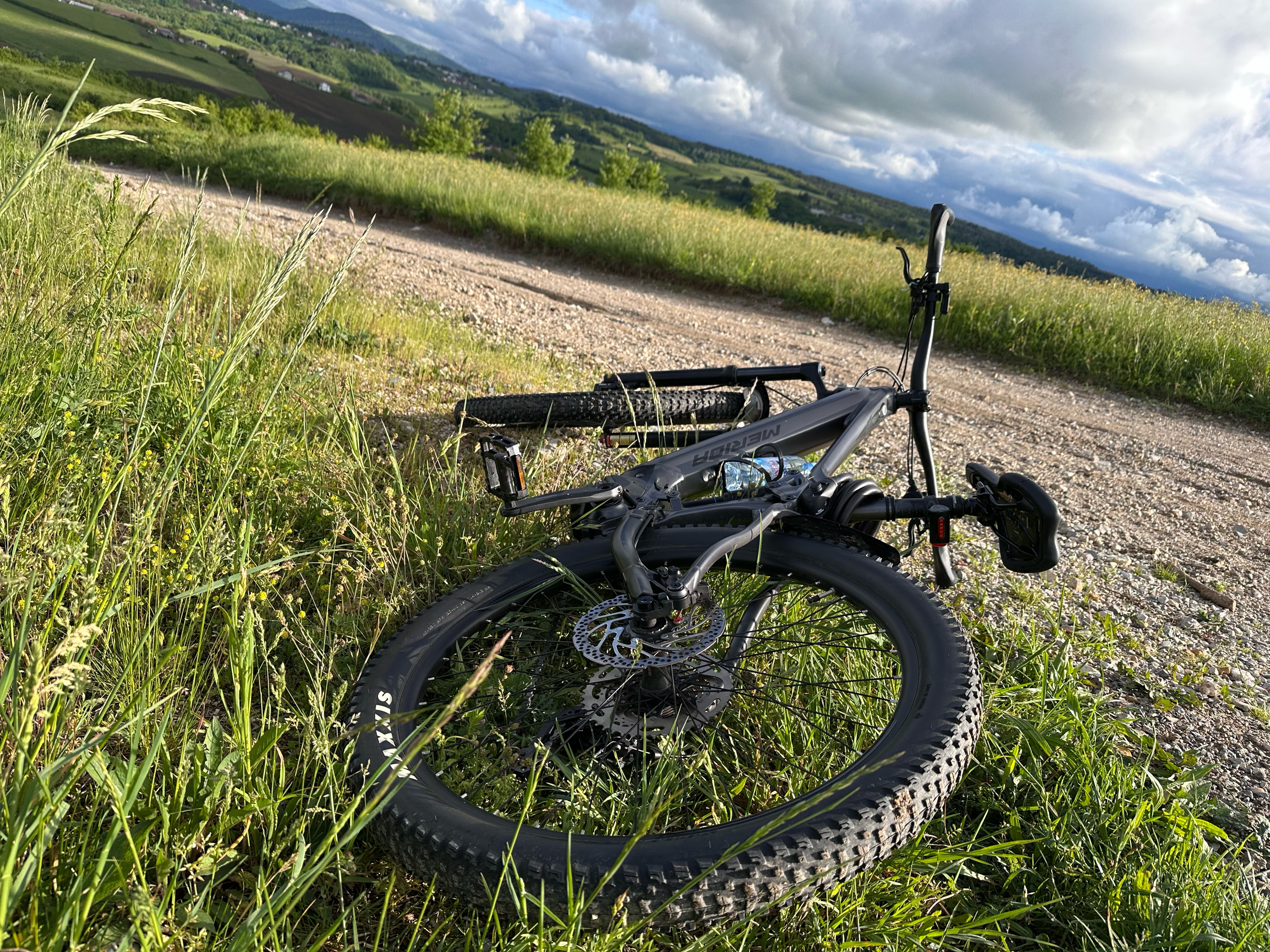
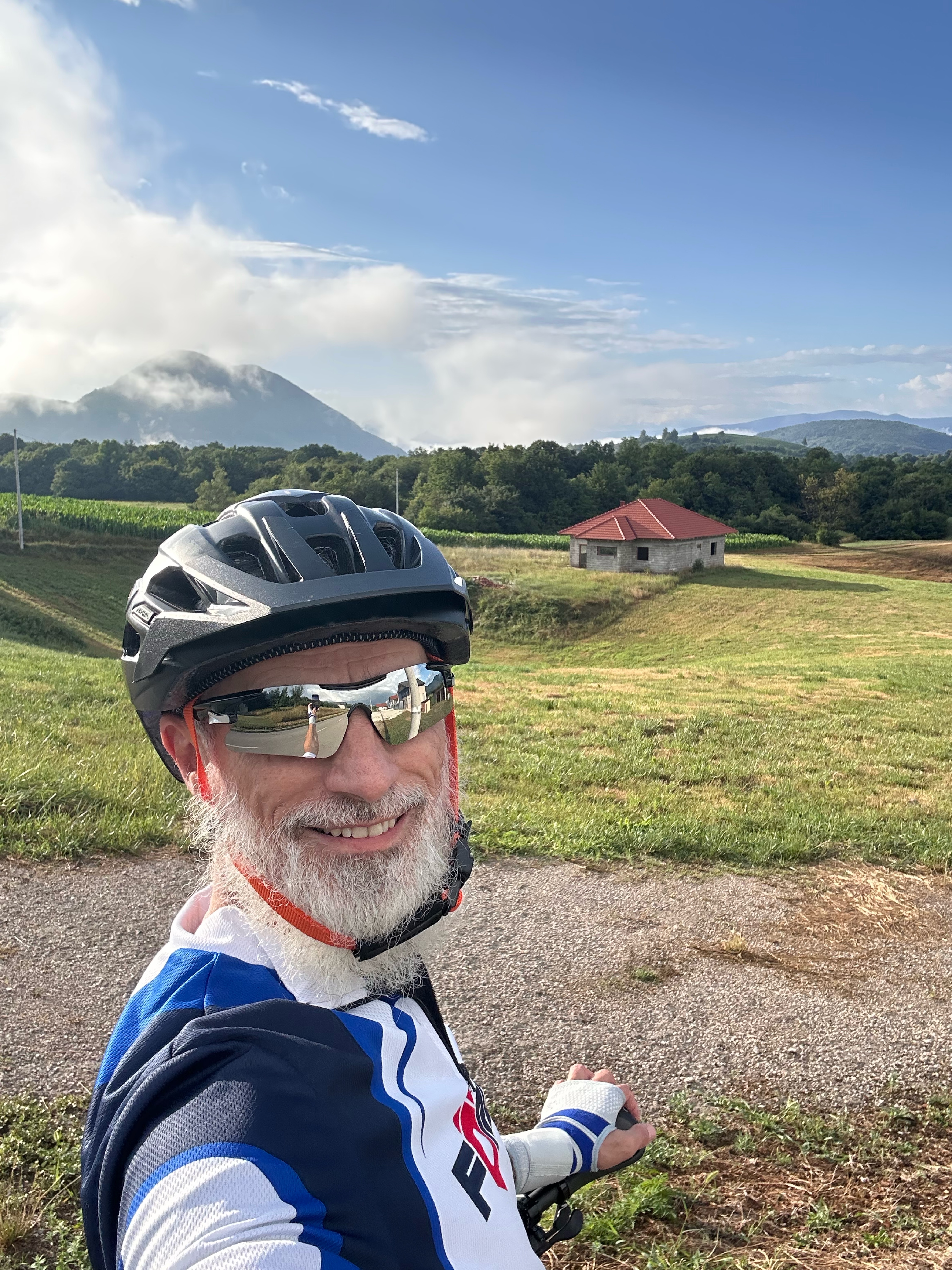
Route photos
-Hairlahov.brdo-Koprivna-Krecane-Koliste\"")
-Hairlahov.brdo-Koprivna-Krecane-Koliste\"")
-Hairlahov.brdo-Koprivna-Krecane-Koliste\"")
-Hairlahov.brdo-Koprivna-Krecane-Koliste\"")
-Hairlahov.brdo-Koprivna-Krecane-Koliste\"")
Route quality
Waytypes & surfaces along the route
Waytypes
Quiet road
12.4 km
(71 %)
Road
3.7 km
(21 %)
Surfaces
Paved
0.2 km
(1 %)
Unpaved
4.4 km
(25 %)
Gravel
3.3 km
(19 %)
Ground
1 km
(6 %)
Continue with Bikemap
Use, edit, or download this cycling route
You would like to ride Cazin(restoran Papilon)-Hairlahov.brdo-Koprivna-Krecane-Koliste or customize it for your own trip? Here is what you can do with this Bikemap route:
Free features
- Save this route as favorite or in collections
- Copy & plan your own version of this route
- Sync your route with Garmin or Wahoo
Premium features
Free trial for 3 days, or one-time payment. More about Bikemap Premium.
- Navigate this route on iOS & Android
- Export a GPX / KML file of this route
- Create your custom printout (try it for free)
- Download this route for offline navigation
Discover more Premium features.
Get Bikemap PremiumFrom our community
Other popular routes starting in Cazin
 biciklisticka staza stovrela
- Distance
- 5.3 km
- Ascent
- 171 m
- Descent
- 171 m
- Location
- Cazin, Federation of Bosnia and Herzegovina, Bosnia and Herzegovina
 Stetige Fahrt
- Distance
- 52.2 km
- Ascent
- 671 m
- Descent
- 716 m
- Location
- Cazin, Federation of Bosnia and Herzegovina, Bosnia and Herzegovina
 Proba
Proba- Distance
- 2.7 km
- Ascent
- 112 m
- Descent
- 47 m
- Location
- Cazin, Federation of Bosnia and Herzegovina, Bosnia and Herzegovina
 Gnjilavac-Ostrozac-Miostrah-Stijena-Podgredina-Jezerski-Pistaline-Orascani-Silici-Basce-Gnjilavac
- Distance
- 58.8 km
- Ascent
- 1,419 m
- Descent
- 1,416 m
- Location
- Cazin, Federation of Bosnia and Herzegovina, Bosnia and Herzegovina
 sumska ruta
- Distance
- 24.4 km
- Ascent
- 480 m
- Descent
- 409 m
- Location
- Cazin, Federation of Bosnia and Herzegovina, Bosnia and Herzegovina
 Gemütliche Fahrt
- Distance
- 53.2 km
- Ascent
- 588 m
- Descent
- 638 m
- Location
- Cazin, Federation of Bosnia and Herzegovina, Bosnia and Herzegovina
 Usamljena kuća - KRUG
- Distance
- 19.3 km
- Ascent
- 328 m
- Descent
- 293 m
- Location
- Cazin, Federation of Bosnia and Herzegovina, Bosnia and Herzegovina
 Cazin - Miostrah - Cazin
- Distance
- 29.3 km
- Ascent
- 410 m
- Descent
- 399 m
- Location
- Cazin, Federation of Bosnia and Herzegovina, Bosnia and Herzegovina
Open it in the app