

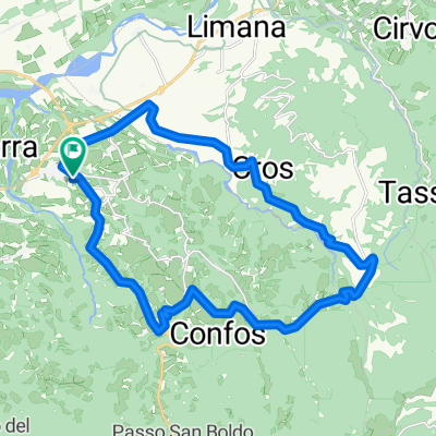
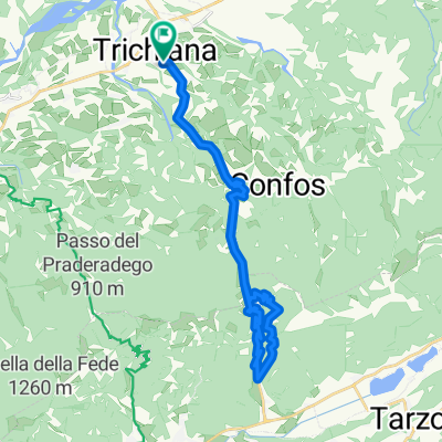
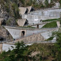
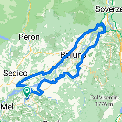
Passo San Boldo (Südrampe)
A cycling route starting in Trichiana, Veneto, Italy.
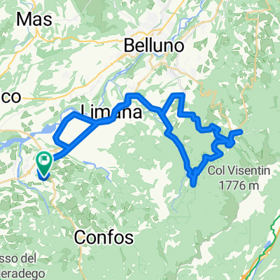
Overview
About this route
- -:--
- Duration
- 44.1 km
- Distance
- 2,149 m
- Ascent
- 2,148 m
- Descent
- ---
- Avg. speed
- 933 m
- Avg. speed

Route photos
\"")
Route quality
Waytypes & surfaces along the route
Waytypes
Busy road
20.2 km
(46 %)
Road
17.7 km
(40 %)
Surfaces
Paved
39.4 km
(90 %)
Unpaved
0.2 km
(<1 %)
Asphalt
39 km
(89 %)
Paved (undefined)
0.4 km
(<1 %)
Continue with Bikemap
Use, edit, or download this cycling route
You would like to ride Passo San Boldo (Südrampe) or customize it for your own trip? Here is what you can do with this Bikemap route:
Free features
- Save this route as favorite or in collections
- Copy & plan your own version of this route
- Sync your route with Garmin or Wahoo
Premium features
Free trial for 3 days, or one-time payment. More about Bikemap Premium.
- Navigate this route on iOS & Android
- Export a GPX / KML file of this route
- Create your custom printout (try it for free)
- Download this route for offline navigation
Discover more Premium features.
Get Bikemap PremiumFrom our community
Other popular routes starting in Trichiana
 Trichiana- Sant' Antonio- Melere- Valmorel- Triches- Trichiana
- Distance
- 24.5 km
- Ascent
- 554 m
- Descent
- 555 m
- Location
- Trichiana, Veneto, Italy
 Trichiana-San Boldo-Tovena-Trichiana
- Distance
- 30.2 km
- Ascent
- 1,042 m
- Descent
- 1,040 m
- Location
- Trichiana, Veneto, Italy
 Passo San Boldo (Südrampe)
- Distance
- 44.1 km
- Ascent
- 2,149 m
- Descent
- 2,148 m
- Location
- Trichiana, Veneto, Italy
 Da Località Pialdier 75 a Località Pialdier 95
- Distance
- 50.2 km
- Ascent
- 441 m
- Descent
- 434 m
- Location
- Trichiana, Veneto, Italy
 Trichiana-Busche-Cesio-Trichiana
- Distance
- 36.7 km
- Ascent
- 325 m
- Descent
- 325 m
- Location
- Trichiana, Veneto, Italy
 Valmorel da Trichiana
- Distance
- 10.8 km
- Ascent
- 546 m
- Descent
- 55 m
- Location
- Trichiana, Veneto, Italy
 Trichiana-Visome-Piandelmonte-Ronce-Piazzale Nevegal e ritorno
- Distance
- 46.1 km
- Ascent
- 828 m
- Descent
- 828 m
- Location
- Trichiana, Veneto, Italy
 Trichiana-Pianezze
- Distance
- 25.4 km
- Ascent
- 660 m
- Descent
- 658 m
- Location
- Trichiana, Veneto, Italy
Open it in the app