

Dorf Tirol - Jaufenpass und zurück
A cycling route starting in Caines, Trentino-Alto Adige, Italy.
Overview
About this route
Passhöhe 2094 m
<span style="font-weight: bold;">Steigungsquotient 28,6 Hm/km</span>
<span style="font-style: italic;">Referenz: Alb Extrem 190 km = 14,7 Hm(km</span>
- -:--
- Duration
- 74 km
- Distance
- 2,378 m
- Ascent
- 2,407 m
- Descent
- ---
- Avg. speed
- 2,094 m
- Max. altitude

Route quality
Waytypes & surfaces along the route
Waytypes
Busy road
66.5 km
(90 %)
Quiet road
4.3 km
(6 %)
Surfaces
Paved
71.1 km
(96 %)
Unpaved
0.3 km
(<1 %)
Asphalt
71.1 km
(96 %)
Loose gravel
0.3 km
(<1 %)
Undefined
2.7 km
(4 %)
Continue with Bikemap
Use, edit, or download this cycling route
You would like to ride Dorf Tirol - Jaufenpass und zurück or customize it for your own trip? Here is what you can do with this Bikemap route:
Free features
- Save this route as favorite or in collections
- Copy & plan your own version of this route
- Sync your route with Garmin or Wahoo
Premium features
Free trial for 3 days, or one-time payment. More about Bikemap Premium.
- Navigate this route on iOS & Android
- Export a GPX / KML file of this route
- Create your custom printout (try it for free)
- Download this route for offline navigation
Discover more Premium features.
Get Bikemap PremiumFrom our community
Other popular routes starting in Caines
 Meran - Timmelsjoch - Meran
- Distance
- 97.2 km
- Ascent
- 2,257 m
- Descent
- 2,232 m
- Location
- Caines, Trentino-Alto Adige, Italy
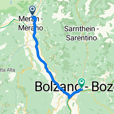
 Jaufenstraße nach Bozen
- Distance
- 36.1 km
- Ascent
- 105 m
- Descent
- 274 m
- Location
- Caines, Trentino-Alto Adige, Italy
 Pension Schweigkofler zu Bahnhof Meran
- Distance
- 6.5 km
- Ascent
- 21 m
- Descent
- 170 m
- Location
- Caines, Trentino-Alto Adige, Italy
 Tirolo - Naturns
- Distance
- 17.4 km
- Ascent
- 516 m
- Descent
- 449 m
- Location
- Caines, Trentino-Alto Adige, Italy
 Aichweg nach Aichweg
- Distance
- 96.6 km
- Ascent
- 599 m
- Descent
- 601 m
- Location
- Caines, Trentino-Alto Adige, Italy
 Aichweg, Tirol nach Bahnhofsplatz, Bozen
- Distance
- 36.6 km
- Ascent
- 101 m
- Descent
- 353 m
- Location
- Caines, Trentino-Alto Adige, Italy
 Kunser Strasse 39, Kuens nach Riva 3 Novembre, Trieste
- Distance
- 329.8 km
- Ascent
- 2,435 m
- Descent
- 3,020 m
- Location
- Caines, Trentino-Alto Adige, Italy
 girettino1
- Distance
- 10.4 km
- Ascent
- 898 m
- Descent
- 358 m
- Location
- Caines, Trentino-Alto Adige, Italy
Open it in the app