

Harvest - Newrybar
A cycling route starting in East Lismore, New South Wales, Australia.
Overview
About this route
- 4 h 40 min
- Duration
- 85.7 km
- Distance
- 1,305 m
- Ascent
- 1,305 m
- Descent
- 18.3 km/h
- Avg. speed
- 197 m
- Max. altitude

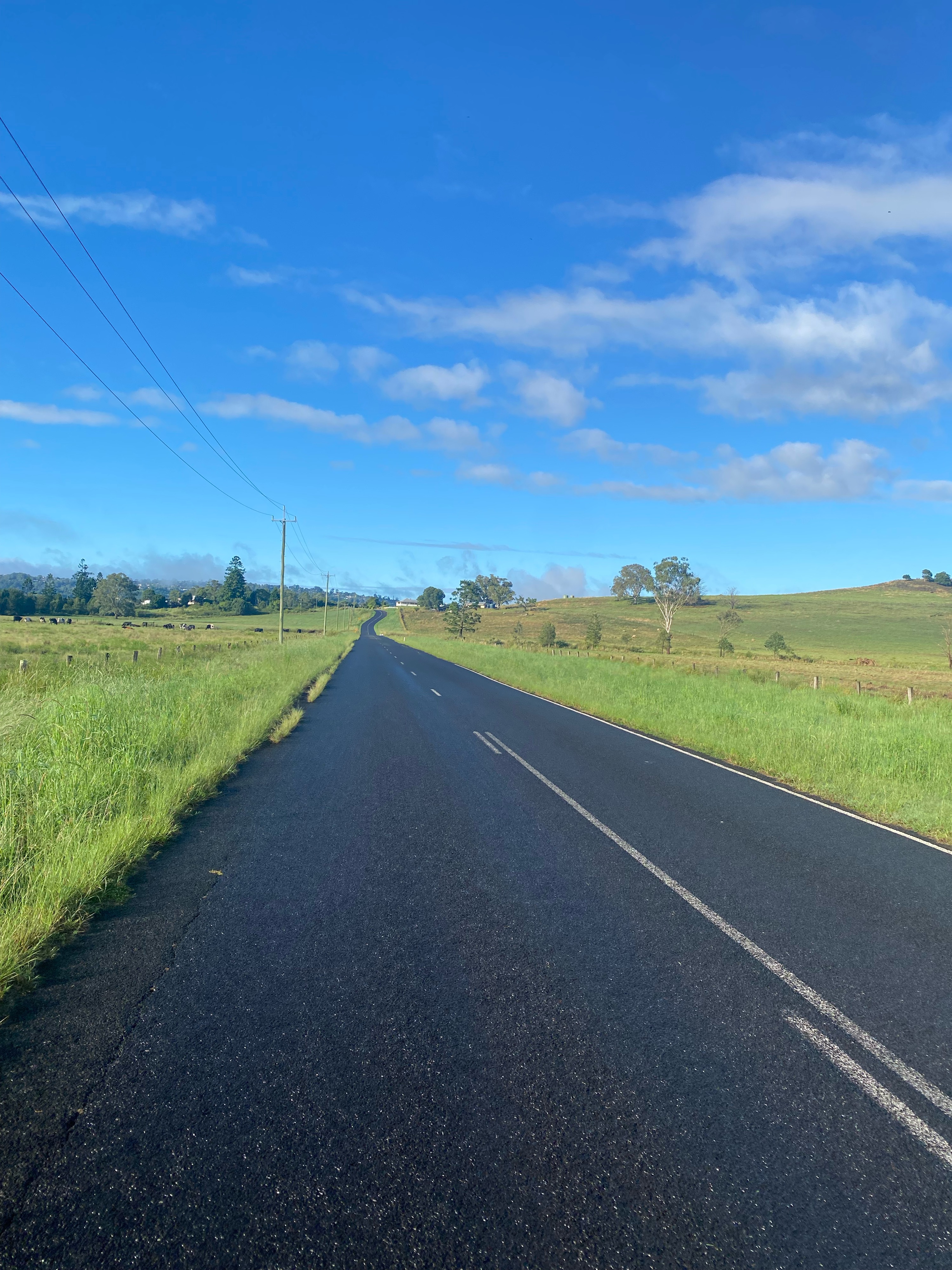
Route photos


Route quality
Waytypes & surfaces along the route
Waytypes
Quiet road
40.3 km
(47 %)
Road
22.3 km
(26 %)
Undefined
23.1 km
(27 %)
Surfaces
Paved
85.7 km
(100 %)
Asphalt
78.8 km
(92 %)
Paved (undefined)
6.9 km
(8 %)
Continue with Bikemap
Use, edit, or download this cycling route
You would like to ride Harvest - Newrybar or customize it for your own trip? Here is what you can do with this Bikemap route:
Free features
- Save this route as favorite or in collections
- Copy & plan your own version of this route
- Split it into stages to create a multi-day tour
- Sync your route with Garmin or Wahoo
Premium features
Free trial for 3 days, or one-time payment. More about Bikemap Premium.
- Navigate this route on iOS & Android
- Export a GPX / KML file of this route
- Create your custom printout (try it for free)
- Download this route for offline navigation
Discover more Premium features.
Get Bikemap PremiumFrom our community
Other popular routes starting in East Lismore
 Jiggi
Jiggi- Distance
- 54.5 km
- Ascent
- 232 m
- Descent
- 238 m
- Location
- East Lismore, New South Wales, Australia
 Alstonville - back via Eltham and Numulgi
- Distance
- 61.2 km
- Ascent
- 833 m
- Descent
- 830 m
- Location
- East Lismore, New South Wales, Australia
 Marom Creek
- Distance
- 39 km
- Ascent
- 672 m
- Descent
- 673 m
- Location
- East Lismore, New South Wales, Australia
 Tregeagle via Wyrallah, Boatharbour and Numulgi
- Distance
- 55.2 km
- Ascent
- 633 m
- Descent
- 633 m
- Location
- East Lismore, New South Wales, Australia
 Koonorigan via The Channon
- Distance
- 51.8 km
- Ascent
- 740 m
- Descent
- 734 m
- Location
- East Lismore, New South Wales, Australia
 Richmond Hill DH
- Distance
- 37.5 km
- Ascent
- 437 m
- Descent
- 435 m
- Location
- East Lismore, New South Wales, Australia
 Tregeagle- up New Ballina Road, back via Riverbank Road (a little extra hill on Mountain View Drive, Goonellabah)
- Distance
- 40 km
- Ascent
- 608 m
- Descent
- 623 m
- Location
- East Lismore, New South Wales, Australia
 Marom Creek
- Distance
- 39.5 km
- Ascent
- 686 m
- Descent
- 686 m
- Location
- East Lismore, New South Wales, Australia
Open it in the app