4B. St Boil - Nolay (zonder Chalon)
- 53.5 km
- 322 m
- 230 m
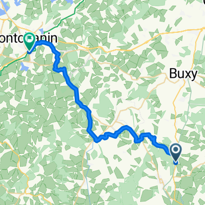
- Saint-Gengoux-le-National, Bourgogne-Franche-Comté, France
A cycling route starting in Saint-Gengoux-le-National, Bourgogne-Franche-Comté, France.
Overview
Super well done, toilets and water everywhere, all flat, beautiful wine-growing area
created this 2 years ago
Route quality
Path
24.8 km
(87 %)
Quiet road
1.7 km
(6 %)
Paved
25.9 km
(91 %)
Asphalt
25.9 km
(91 %)
Undefined
2.6 km
(9 %)
Continue with Bikemap
You would like to ride 2023 Bahntrasse St Genoux---Buxy or customize it for your own trip? Here is what you can do with this Bikemap route:
Free trial for 3 days, or one-time payment. More about Bikemap Premium.
Discover more Premium features.
Get Bikemap PremiumFrom our community
Open it in the app