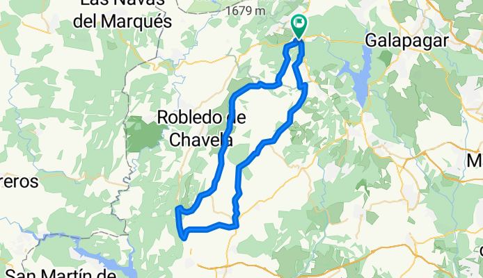

El Escorial-Colmenar del Arroyo-Fresnedillas de La Oliva-Peralejo-El Escorial
- 57.3 km
- 796 m
- 795 m
- El Escorial, Madrid, Spain
A cycling route starting in El Escorial, Madrid, Spain.
Overview
This route is mostly on simple paths, with some sections on roads occasionally.
created this 13 years ago
Route quality
Track
40.1 km
(70 %)
Road
3.4 km
(6 %)
Paved
3.4 km
(6 %)
Unpaved
37.8 km
(66 %)
Ground
23.5 km
(41 %)
Gravel
7.4 km
(13 %)
Continue with Bikemap
You would like to ride El Escorial-Colmenar del Arroyo-Fresnedillas de La Oliva-Peralejo-El Escorial or customize it for your own trip? Here is what you can do with this Bikemap route:
Free trial for 3 days, or one-time payment. More about Bikemap Premium.
Discover more Premium features.
Get Bikemap PremiumFrom our community
Open it in the app