

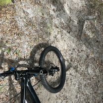
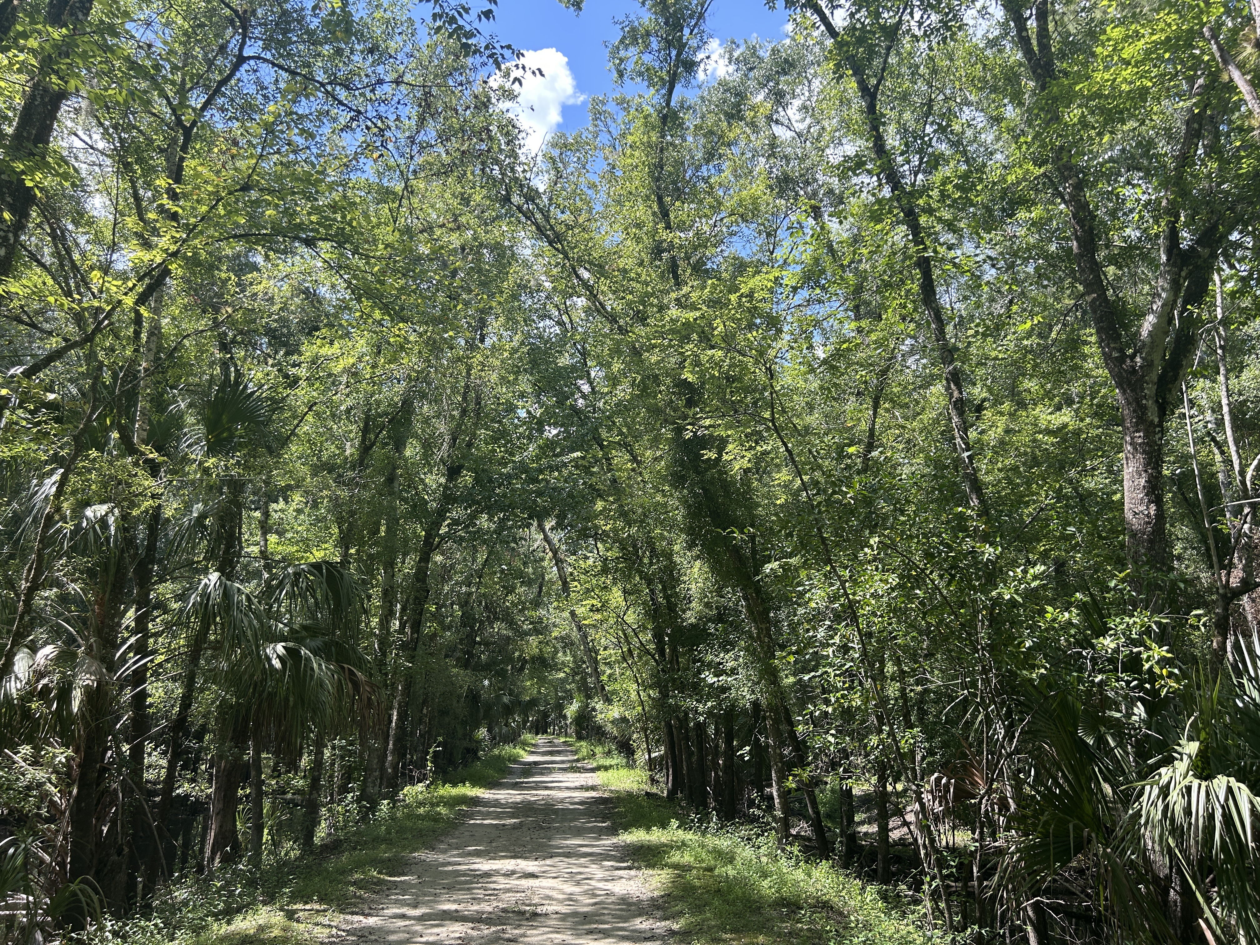
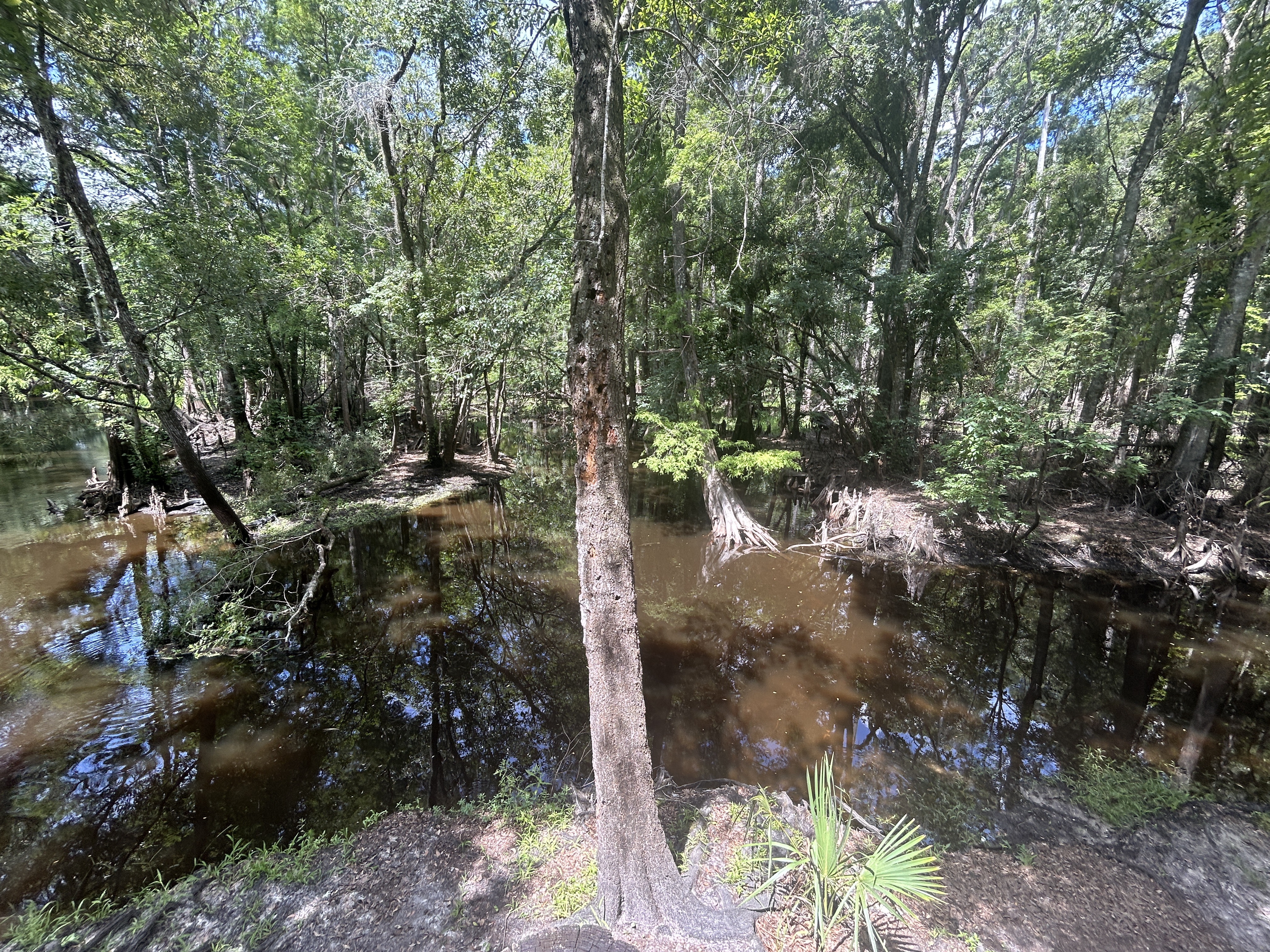
Recovered Route
A cycling route starting in Thonotosassa, Florida, United States.
Overview
About this route
- 18 min
- Duration
- 3.5 km
- Distance
- 6 m
- Ascent
- 10 m
- Descent
- 11.8 km/h
- Avg. speed
- 18 m
- Max. altitude

Route quality
Waytypes & surfaces along the route
Waytypes
Path
3.4 km
(98 %)
Access road
0 km
(1 %)
Cycleway
0 km
(1 %)
Surfaces
Unpaved
3.5 km
(100 %)
Ground
3.4 km
(97 %)
Unpaved (undefined)
0.1 km
(3 %)
Continue with Bikemap
Use, edit, or download this cycling route
You would like to ride Recovered Route or customize it for your own trip? Here is what you can do with this Bikemap route:
Free features
- Save this route as favorite or in collections
- Copy & plan your own version of this route
- Sync your route with Garmin or Wahoo
Premium features
Free trial for 3 days, or one-time payment. More about Bikemap Premium.
- Navigate this route on iOS & Android
- Export a GPX / KML file of this route
- Create your custom printout (try it for free)
- Download this route for offline navigation
Discover more Premium features.
Get Bikemap PremiumFrom our community
Other popular routes starting in Thonotosassa
 Thonotosassa to Morris Bridge Rd, Thonotosassa
- Distance
- 2.5 km
- Ascent
- 14 m
- Descent
- 13 m
- Location
- Thonotosassa, Florida, United States
 Lower Hillsborough Flood Detention Area Trail, Thonotosassa to Lower Hillsborough Flood Detention Area Trail, Thonotosassa
- Distance
- 7.6 km
- Ascent
- 50 m
- Descent
- 53 m
- Location
- Thonotosassa, Florida, United States
 Thonotosassa to 13700–13748 Morris Bridge Rd, Thonotosassa
- Distance
- 2.3 km
- Ascent
- 10 m
- Descent
- 10 m
- Location
- Thonotosassa, Florida, United States
 Greater Thonotosassa, Tampa to Edmonton Drive 9914, Land O' Lakes
- Distance
- 37.7 km
- Ascent
- 27 m
- Descent
- 31 m
- Location
- Thonotosassa, Florida, United States
 Thonotosassa to Thonotosassa
- Distance
- 7.5 km
- Ascent
- 27 m
- Descent
- 29 m
- Location
- Thonotosassa, Florida, United States
 Recovered Route
- Distance
- 13 km
- Ascent
- 63 m
- Descent
- 50 m
- Location
- Thonotosassa, Florida, United States
 Lower Hillsborough Flood Detention Area Trail, Thonotosassa to Lower Hillsborough Flood Detention Area Trail, Thonotosassa
- Distance
- 14.2 km
- Ascent
- 76 m
- Descent
- 77 m
- Location
- Thonotosassa, Florida, United States
 Lower Hillsborough Flood Detention Area Trail, Thonotosassa to Lower Hillsborough Flood Detention Area Trail, Thonotosassa
- Distance
- 24.4 km
- Ascent
- 150 m
- Descent
- 150 m
- Location
- Thonotosassa, Florida, United States
Open it in the app