第二天的行程:奧克蘭-基督城-福斯冰河小鎮
- 1,208.4 km
- 3,890 m
- 3,750 m
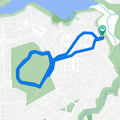
- Mangere, Auckland, New Zealand
A cycling route starting in Mangere, Auckland, New Zealand.
Overview
created this 13 years ago
Route quality
Road
8.6 km
(24 %)
Quiet road
4.3 km
(12 %)
Paved
34.8 km
(97 %)
Asphalt
23.3 km
(65 %)
Paved (undefined)
11.5 km
(32 %)
Undefined
1.1 km
(3 %)
Continue with Bikemap
You would like to ride Ride to Piha or customize it for your own trip? Here is what you can do with this Bikemap route:
Free trial for 3 days, or one-time payment. More about Bikemap Premium.
Discover more Premium features.
Get Bikemap PremiumFrom our community
Open it in the app