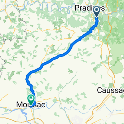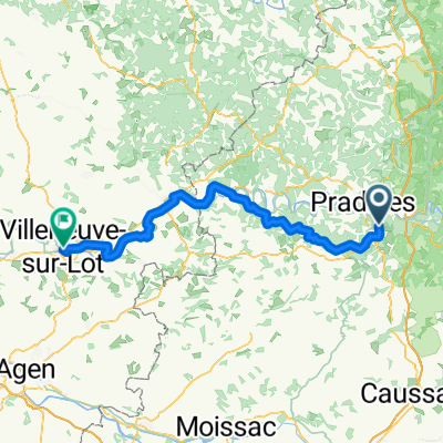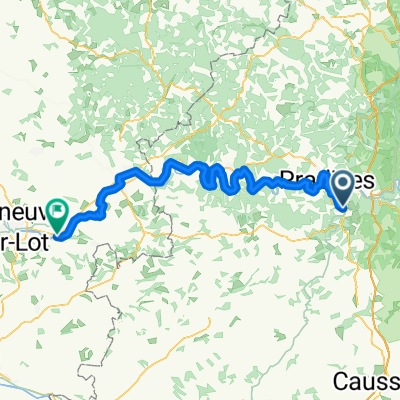
Cahors to Rocamadour - V87 Route
- 66.4 km
- 995 m
- 1,016 m
- Cahors, Occitanie, France
A cycling route starting in Cahors, Occitanie, France.
Overview
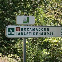
Véloroute V87 (La Vagabonde) was not yet marked at the time of our ride. Therefore, no official bike path was found, long difficult stretch, lots of gravel, surprisingly many loose farm dogs,
created this 2 years ago
 FR 26 Cahors - Montauban\"")
 FR 26 Cahors - Montauban\"")
 FR 26 Cahors - Montauban\"")
 FR 26 Cahors - Montauban\"")
 FR 26 Cahors - Montauban\"")
 FR 26 Cahors - Montauban\"")
 FR 26 Cahors - Montauban\"")
 FR 26 Cahors - Montauban\"")
Route quality
Quiet road
54.4 km
(79 %)
Road
9.6 km
(14 %)
Paved
16.5 km
(24 %)
Asphalt
15.8 km
(23 %)
Paved (undefined)
0.7 km
(1 %)
Undefined
52.3 km
(76 %)
Continue with Bikemap
You would like to ride Deutschland - Portugal (Berlin - Faro) FR 26 Cahors - Montauban or customize it for your own trip? Here is what you can do with this Bikemap route:
Free trial for 3 days, or one-time payment. More about Bikemap Premium.
Discover more Premium features.
Get Bikemap PremiumFrom our community
Open it in the app