plaine de montauban
- 19.6 km
- 25 m
- 22 m
- Montauban, Occitanie, France
A cycling route starting in Montauban, Occitanie, France.
Overview
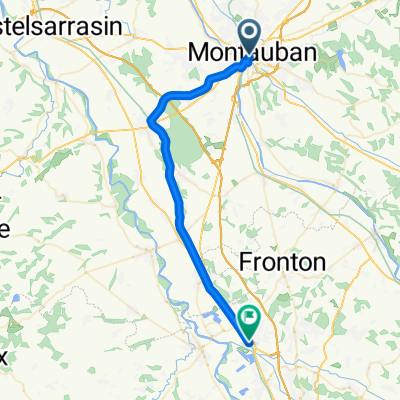
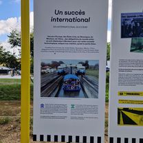
Canal lateral à la Garonne, V80 Canal des 2 mers à vélo, Kanalbrücken, Wasserkeilhebewerk, Wieder Treidelwege auf denen wir fahren. Reste vom schweren Sturm.
created this 2 years ago
 FR 27 Montauban - (Agen)\"")
 FR 27 Montauban - (Agen)\"")
Route quality
Cycleway
41.4 km
(58 %)
Path
20.7 km
(29 %)
Paved
56.3 km
(79 %)
Unpaved
5.7 km
(8 %)
Asphalt
33.5 km
(47 %)
Paved (undefined)
22.8 km
(32 %)
Continue with Bikemap
You would like to ride Deutschland - Portugal (Berlin - Faro) FR 27 Montauban - (Agen) or customize it for your own trip? Here is what you can do with this Bikemap route:
Free trial for 3 days, or one-time payment. More about Bikemap Premium.
Discover more Premium features.
Get Bikemap PremiumFrom our community
Open it in the app