ATL24-E15
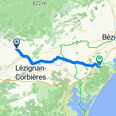
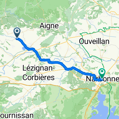
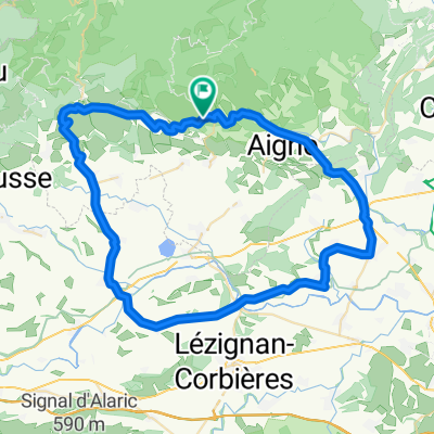
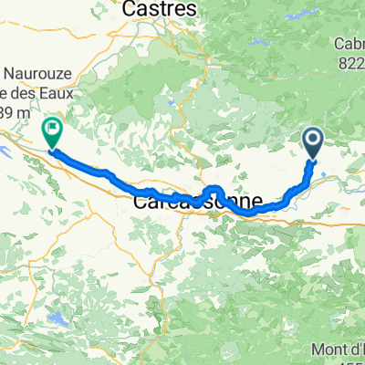
A cycling route starting in Pépieux, Occitanie, France.
Overview
About this route
- -:--
- Duration
- 127.6 km
- Distance
- 465 m
- Ascent
- 555 m
- Descent
- ---
- Avg. speed
- 264 m
- Max. altitude
Route quality
Waytypes & surfaces along the route
Waytypes
Track
33.2 km
(26 %)
Quiet road
21.7 km
(17 %)
Surfaces
Paved
61.2 km
(48 %)
Unpaved
30.6 km
(24 %)
Asphalt
61.2 km
(48 %)
Loose gravel
11.5 km
(9 %)
Continue with Bikemap
Use, edit, or download this cycling route
You would like to ride ATL24-E15 or customize it for your own trip? Here is what you can do with this Bikemap route:
Free features
- Save this route as favorite or in collections
- Copy & plan your own version of this route
- Split it into stages to create a multi-day tour
- Sync your route with Garmin or Wahoo
Premium features
Free trial for 3 days, or one-time payment. More about Bikemap Premium.
- Navigate this route on iOS & Android
- Export a GPX / KML file of this route
- Create your custom printout (try it for free)
- Download this route for offline navigation
Discover more Premium features.
Get Bikemap PremiumFrom our community
Other popular routes starting in Pépieux
- Rue Pasteur 65, Pépieux nach Promenade de l'Ancien Stade 9, Colombiers
- Distance
- 65.1 km
- Ascent
- 98 m
- Descent
- 209 m
- Location
- Pépieux, Occitanie, France
- Relaxed route
- Distance
- 6.6 km
- Ascent
- 121 m
- Descent
- 171 m
- Location
- Pépieux, Occitanie, France
- Cesseras-Mühlentour
- Distance
- 28.6 km
- Ascent
- 176 m
- Descent
- 176 m
- Location
- Pépieux, Occitanie, France
- Od Dordogne do Provence 10.etapa
- Distance
- 87.6 km
- Ascent
- 459 m
- Descent
- 543 m
- Location
- Pépieux, Occitanie, France
- Siran- Hausbergankunft
- Distance
- 5.6 km
- Ascent
- 275 m
- Descent
- 22 m
- Location
- Pépieux, Occitanie, France
- Siran - Bergankunft
- Distance
- 6.4 km
- Ascent
- 287 m
- Descent
- 22 m
- Location
- Pépieux, Occitanie, France
- 19 bis Route des Meulières, La Livinière à Rue de la Chasse, Félines-Minervois
- Distance
- 4.1 km
- Ascent
- 228 m
- Descent
- 220 m
- Location
- Pépieux, Occitanie, France
- fauzan
- Distance
- 44.3 km
- Ascent
- 879 m
- Descent
- 880 m
- Location
- Pépieux, Occitanie, France
Open it in the app