

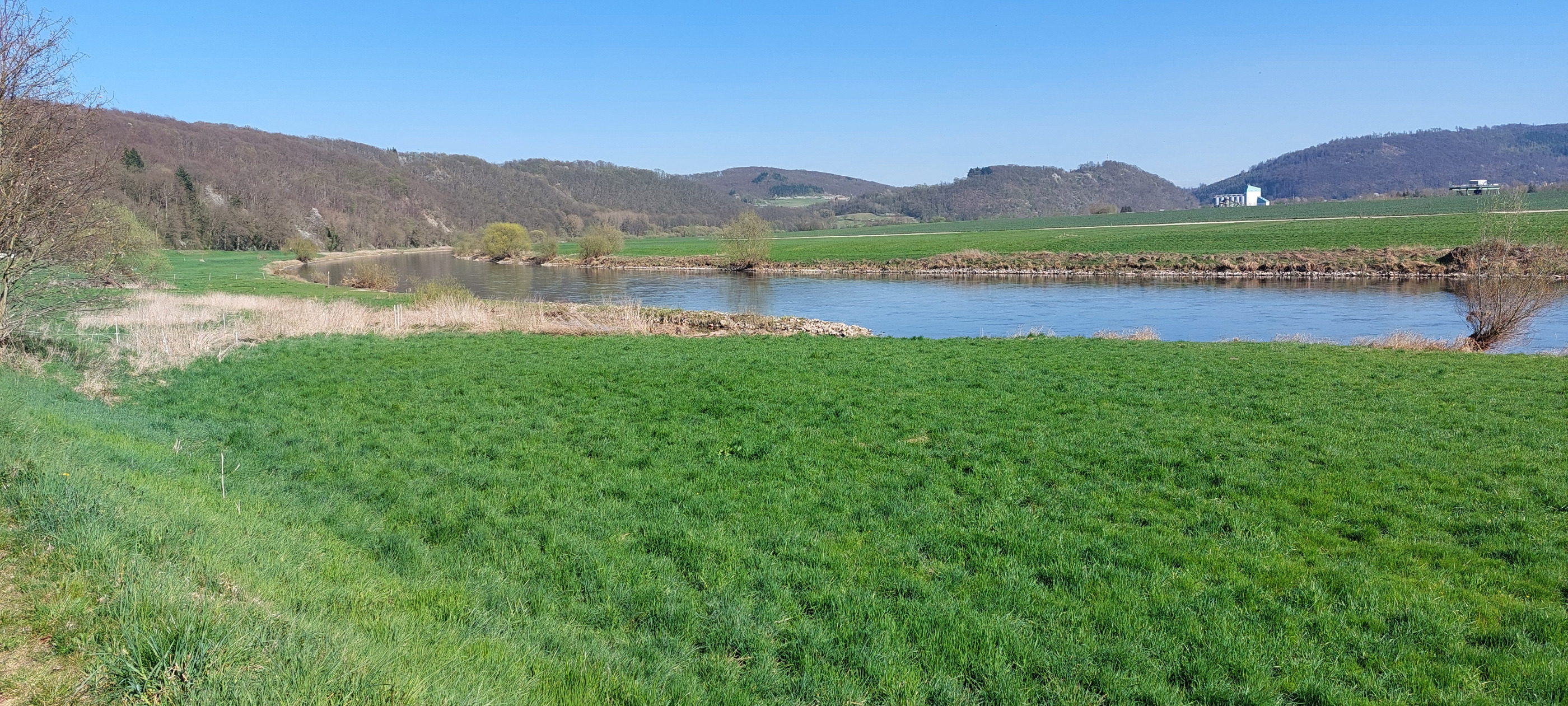
Overview
About this route
- -:--
- Duration
- 134.4 km
- Distance
- 906 m
- Ascent
- 904 m
- Descent
- ---
- Avg. speed
- 241 m
- Max. altitude

Part of
Hameln
7 stages
Route quality
Waytypes & surfaces along the route
Waytypes
Path
21.5 km
(16 %)
Quiet road
20.2 km
(15 %)
Surfaces
Paved
123.7 km
(92 %)
Unpaved
1.3 km
(1 %)
Asphalt
122.3 km
(91 %)
Concrete
1.3 km
(1 %)
Continue with Bikemap
Use, edit, or download this cycling route
You would like to ride Tag3 Börry-Hasperde-Vlotho-HM or customize it for your own trip? Here is what you can do with this Bikemap route:
Free features
- Save this route as favorite or in collections
- Copy & plan your own version of this route
- Split it into stages to create a multi-day tour
- Sync your route with Garmin or Wahoo
Premium features
Free trial for 3 days, or one-time payment. More about Bikemap Premium.
- Navigate this route on iOS & Android
- Export a GPX / KML file of this route
- Create your custom printout (try it for free)
- Download this route for offline navigation
Discover more Premium features.
Get Bikemap PremiumFrom our community
Other popular routes starting in Hamelin
 2. Tag Mai 2014 Hameln - Veltheim
- Distance
- 45.1 km
- Ascent
- 27 m
- Descent
- 45 m
- Location
- Hamelin, Lower Saxony, Germany
 HM Pegesdorf HM
- Distance
- 58.4 km
- Ascent
- 148 m
- Descent
- 145 m
- Location
- Hamelin, Lower Saxony, Germany
 Hameln - Klütturm-Runde
- Distance
- 9.8 km
- Ascent
- 362 m
- Descent
- 351 m
- Location
- Hamelin, Lower Saxony, Germany
 Süntel-Weser-Tour - Süntel-Weser-Tour
- Distance
- 33.5 km
- Ascent
- 298 m
- Descent
- 300 m
- Location
- Hamelin, Lower Saxony, Germany
 Hameln West
- Distance
- 48 km
- Ascent
- 903 m
- Descent
- 903 m
- Location
- Hamelin, Lower Saxony, Germany
 Hamel-Minden-Rinteln-Bahnhof
- Distance
- 91 km
- Ascent
- 156 m
- Descent
- 169 m
- Location
- Hamelin, Lower Saxony, Germany
 Hameln Rundtour
- Distance
- 45.2 km
- Ascent
- 315 m
- Descent
- 258 m
- Location
- Hamelin, Lower Saxony, Germany
 2ß24-04-04 Hameln - Bodenwerder - Hameln
- Distance
- 54.1 km
- Ascent
- 242 m
- Descent
- 239 m
- Location
- Hamelin, Lower Saxony, Germany
Open it in the app