

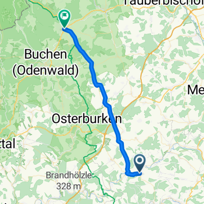
K-J 5
A cycling route starting in Weißbach, Baden-Wurttemberg, Germany.
Overview
About this route
- -:--
- Duration
- 56 km
- Distance
- 705 m
- Ascent
- 522 m
- Descent
- ---
- Avg. speed
- 425 m
- Max. altitude

Route quality
Waytypes & surfaces along the route
Waytypes
Track
28.6 km
(51 %)
Road
13.5 km
(24 %)
Surfaces
Paved
46.5 km
(83 %)
Unpaved
1.7 km
(3 %)
Asphalt
33.1 km
(59 %)
Paved (undefined)
13.5 km
(24 %)
Continue with Bikemap
Use, edit, or download this cycling route
You would like to ride K-J 5 or customize it for your own trip? Here is what you can do with this Bikemap route:
Free features
- Save this route as favorite or in collections
- Copy & plan your own version of this route
- Sync your route with Garmin or Wahoo
Premium features
Free trial for 3 days, or one-time payment. More about Bikemap Premium.
- Navigate this route on iOS & Android
- Export a GPX / KML file of this route
- Create your custom printout (try it for free)
- Download this route for offline navigation
Discover more Premium features.
Get Bikemap PremiumFrom our community
Other popular routes starting in Weißbach
 K-J 5
K-J 5- Distance
- 56 km
- Ascent
- 705 m
- Descent
- 522 m
- Location
- Weißbach, Baden-Wurttemberg, Germany
 Tour für Carola mit Kind
- Distance
- 73.9 km
- Ascent
- 651 m
- Descent
- 652 m
- Location
- Weißbach, Baden-Wurttemberg, Germany
 Trasse Windpark Weißbach
- Distance
- 9.1 km
- Ascent
- 151 m
- Descent
- 314 m
- Location
- Weißbach, Baden-Wurttemberg, Germany
 Westernhausen-Walldürn2
- Distance
- 33.1 km
- Ascent
- 401 m
- Descent
- 216 m
- Location
- Weißbach, Baden-Wurttemberg, Germany
 5. Westernhausen- Ochsenfurt
- Distance
- 64.7 km
- Ascent
- 466 m
- Descent
- 515 m
- Location
- Weißbach, Baden-Wurttemberg, Germany
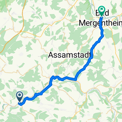 Ruthardstraße 2, Schöntal nach Bahnhofplatz 2, Bad Mergentheim
- Distance
- 30.8 km
- Ascent
- 323 m
- Descent
- 343 m
- Location
- Weißbach, Baden-Wurttemberg, Germany
 Genießertour
- Distance
- 12.9 km
- Ascent
- 279 m
- Descent
- 275 m
- Location
- Weißbach, Baden-Wurttemberg, Germany
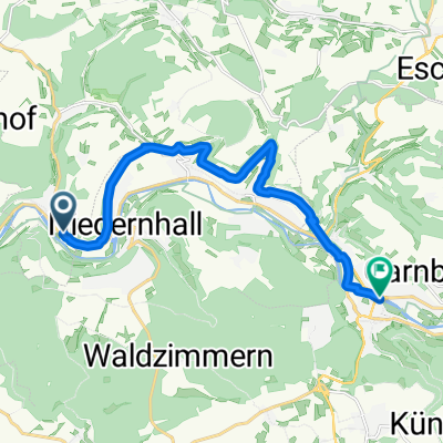
 Halberg - Kün - Kupferzell - Kupfer
- Distance
- 46.1 km
- Ascent
- 731 m
- Descent
- 731 m
- Location
- Weißbach, Baden-Wurttemberg, Germany
Open it in the app