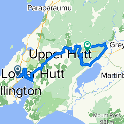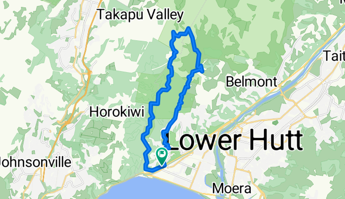
J'ville to Easy Waonui Bike trails
- 40.8 km
- 612 m
- 609 m
- Petone, Wellington Region, New Zealand
A cycling route starting in Petone, Wellington Region, New Zealand.
Overview
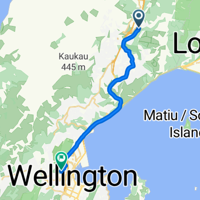
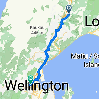
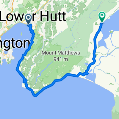
home to Woodridge to horokiwi rd to Kororkoro to Korokoro Stream track to belmont old coach bike ride
created this 2 years ago
Continue with Bikemap
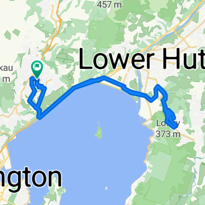
You would like to ride Belmont Trig including Cannon or customize it for your own trip? Here is what you can do with this Bikemap route:
Free trial for 3 days, or one-time payment. More about Bikemap Premium.
Discover more Premium features.
Get Bikemap PremiumFrom our community
Open it in the app