

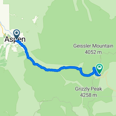
WY-NM P2
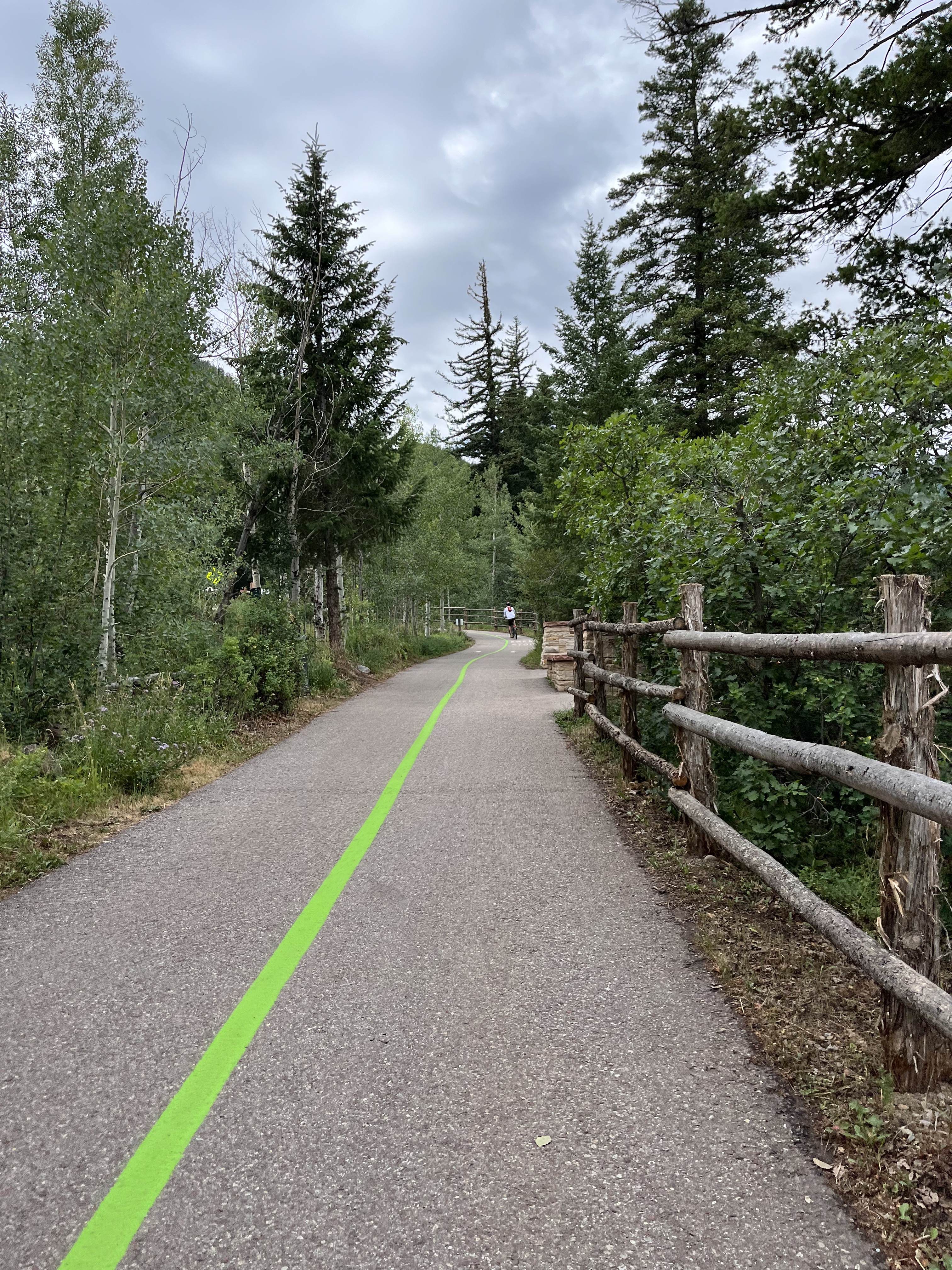
A cycling route starting in Aspen, Colorado, United States.
Overview
About this route
- -:--
- Duration
- 1,022.7 km
- Distance
- 0 m
- Ascent
- 0 m
- Descent
- ---
- Avg. speed
- 0 m
- Max. altitude

Continue with Bikemap
Use, edit, or download this cycling route
You would like to ride WY-NM P2 or customize it for your own trip? Here is what you can do with this Bikemap route:
Free features
- Save this route as favorite or in collections
- Copy & plan your own version of this route
- Split it into stages to create a multi-day tour
- Sync your route with Garmin or Wahoo
Premium features
Free trial for 3 days, or one-time payment. More about Bikemap Premium.
- Navigate this route on iOS & Android
- Export a GPX / KML file of this route
- Create your custom printout (try it for free)
- Download this route for offline navigation
Discover more Premium features.
Get Bikemap PremiumFrom our community
Other popular routes starting in Aspen
 Aspen Independence Pass
- Distance
- 32 km
- Ascent
- 1,292 m
- Descent
- 18 m
- Location
- Aspen, Colorado, United States
 39.192, -106.854 to 39.099, -106.941
- Distance
- 14.7 km
- Ascent
- 528 m
- Descent
- 53 m
- Location
- Aspen, Colorado, United States
 WY-NM P2
- Distance
- 1,022.7 km
- Ascent
- 0 m
- Descent
- 0 m
- Location
- Aspen, Colorado, United States
 03CO_Aspen-Crested Butte
- Distance
- 166.9 km
- Ascent
- 1,875 m
- Descent
- 1,577 m
- Location
- Aspen, Colorado, United States
 RTR day 6
- Distance
- 68.5 km
- Ascent
- 301 m
- Descent
- 902 m
- Location
- Aspen, Colorado, United States
 ToC Day6: Aspen - Independence Pass - Twin Lakes
- Distance
- 60.3 km
- Ascent
- 1,294 m
- Descent
- 808 m
- Location
- Aspen, Colorado, United States
 ToC2 Day5: Rest day, Maroon Bells
- Distance
- 30.1 km
- Ascent
- 508 m
- Descent
- 508 m
- Location
- Aspen, Colorado, United States
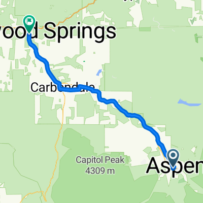
 Carbondale - Aspen
- Distance
- 205.2 km
- Ascent
- 2,162 m
- Descent
- 2,699 m
- Location
- Aspen, Colorado, United States
Open it in the app