2012 Martinova pot - 06. dan (Mokronog - Laze pri Predgradu)
- 156.9 km
- 1,416 m
- 1,548 m
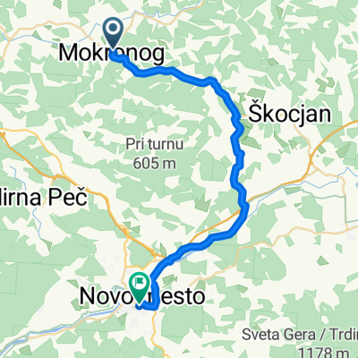
- Mokronog, Mokronog-Trebelno Municipality, Slovenia
A cycling route starting in Mokronog, Mokronog-Trebelno Municipality, Slovenia.
Overview
The start is in Bruni, and at the end of the route you can refresh yourself at the tavern.
created this 13 years ago
Route quality
Quiet road
1.4 km
(9 %)
Track
0.2 km
(1 %)
Undefined
14.3 km
(90 %)
Paved
2.5 km
(16 %)
Asphalt
2.5 km
(16 %)
Undefined
13.3 km
(84 %)
Continue with Bikemap
You would like to ride Tura po okolici Mokronoga or customize it for your own trip? Here is what you can do with this Bikemap route:
Free trial for 3 days, or one-time payment. More about Bikemap Premium.
Discover more Premium features.
Get Bikemap PremiumFrom our community
Open it in the app