3. Etappe: L'Alpe d'Huez bis Chichilianne Chateau de Passieres
- 95.6 km
- 2,957 m
- 3,795 m
- Huez, Auvergne-Rhône-Alpes, France
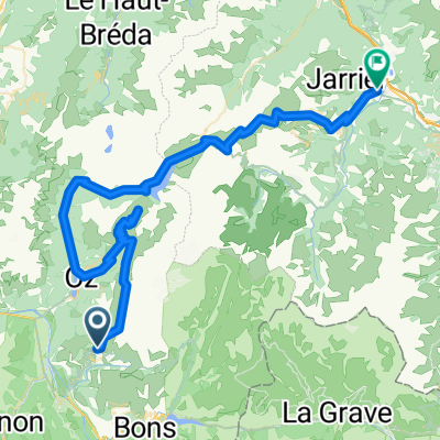
A cycling route starting in Huez, Auvergne-Rhône-Alpes, France.
Overview
48 km / 1,300 m elevation gain
created this 2 years ago
Route quality
Road
14.8 km
31 %
Path
6.2 km
13 %
Paved
44.4 km
(93 %)
Asphalt
44.4 km
93 %
Undefined
3.3 km
7 %
Continue with Bikemap
You would like to ride RSC TDF2 - L'Alpe d'Huez or customize it for your own trip? Here is what you can do with this Bikemap route:
Free trial for 3 days, or one-time payment. More about Bikemap Premium.
Discover more Premium features.
Get Bikemap PremiumFrom our community
Open it in the app