

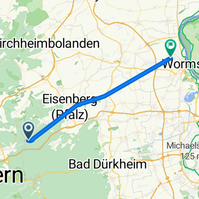
Billesweiher Wanderroute
A cycling route starting in Neuhemsbach, Rhineland-Palatinate, Germany.
Overview
About this route
- -:--
- Duration
- 11 km
- Distance
- 236 m
- Ascent
- 237 m
- Descent
- ---
- Avg. speed
- 385 m
- Max. altitude
Route highlights
Points of interest along the route
Point of interest after 0.2 km
Trekking Pfalz: Enkenbach-Alsenborn
Point of interest after 0.5 km
Signalturm Billes-Kopf

Point of interest after 0.9 km
Ehemalige Haltestelle Stempelbrunn

Point of interest after 1.9 km
Stempelkopftunnel Westeingang

Point of interest after 3.2 km
Dreibrunnertal Brücke

Point of interest after 4.6 km
Eistalviaduckt

Point of interest after 5.8 km
Heinz-Dörr-Hütte

Point of interest after 9.5 km
Stumpfwaldgericht und Ritterstein Nr. 289

Point of interest after 10.5 km
Brunnen am Billesweiher
Continue with Bikemap
Use, edit, or download this cycling route
You would like to ride Billesweiher Wanderroute or customize it for your own trip? Here is what you can do with this Bikemap route:
Free features
- Save this route as favorite or in collections
- Copy & plan your own version of this route
- Sync your route with Garmin or Wahoo
Premium features
Free trial for 3 days, or one-time payment. More about Bikemap Premium.
- Navigate this route on iOS & Android
- Export a GPX / KML file of this route
- Create your custom printout (try it for free)
- Download this route for offline navigation
Discover more Premium features.
Get Bikemap PremiumFrom our community
Other popular routes starting in Neuhemsbach
 B48, Sembach to Ramstein-Miesenbach
- Distance
- 34.6 km
- Ascent
- 585 m
- Descent
- 603 m
- Location
- Neuhemsbach, Rhineland-Palatinate, Germany
 2012 Neuhemsbach Rundtour
- Distance
- 19.9 km
- Ascent
- 283 m
- Descent
- 283 m
- Location
- Neuhemsbach, Rhineland-Palatinate, Germany
 Fast ride in Neuhemsbach
- Distance
- 29.3 km
- Ascent
- 294 m
- Descent
- 336 m
- Location
- Neuhemsbach, Rhineland-Palatinate, Germany
 Enkenbach-Alsenborn nach Hauptstraße 85, Sippersfeld
- Distance
- 8.4 km
- Ascent
- 226 m
- Descent
- 243 m
- Location
- Neuhemsbach, Rhineland-Palatinate, Germany
 Billesweiher Wanderroute
- Distance
- 11 km
- Ascent
- 236 m
- Descent
- 237 m
- Location
- Neuhemsbach, Rhineland-Palatinate, Germany
 Am Sionsberg 21, Neuhemsbach nach Zeppelinstraße 1, Frankenthal
- Distance
- 40.1 km
- Ascent
- 269 m
- Descent
- 483 m
- Location
- Neuhemsbach, Rhineland-Palatinate, Germany
 Bad Dürkheim trip
- Distance
- 33.3 km
- Ascent
- 336 m
- Descent
- 497 m
- Location
- Neuhemsbach, Rhineland-Palatinate, Germany
 Straße Ohne Straßennamen nach Pipinstraße
- Distance
- 31.3 km
- Ascent
- 60 m
- Descent
- 303 m
- Location
- Neuhemsbach, Rhineland-Palatinate, Germany
Open it in the app