niederhofen fußballplatz
- 3.5 km
- 29 m
- 9 m
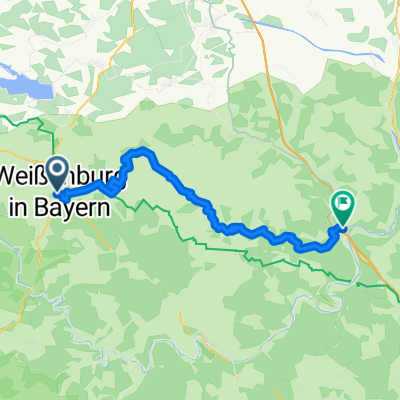
- Weißenburg in Bayern, Bavaria, Germany
Weißenburg in Bayern
A cycling route starting in Weißenburg in Bayern, Bavaria, Germany.
Overview
Inn 'Zum Karlsgraben', Nagelbergstr. 5, 91757 Treuchtlingen, Tel.: 09142 4521
created this 1 year ago
Part of
8 stages
Route quality
Track
33.7 km
(48 %)
Quiet road
17.5 km
(25 %)
Paved
44.2 km
(63 %)
Unpaved
20.3 km
(29 %)
Asphalt
44.2 km
(63 %)
Gravel
14.7 km
(21 %)
Continue with Bikemap
You would like to ride Altmühltal – Trockenhänge bei Dollnstein Version 2 or customize it for your own trip? Here is what you can do with this Bikemap route:
Free trial for 3 days, or one-time payment. More about Bikemap Premium.
Discover more Premium features.
Get Bikemap PremiumFrom our community
Open it in the app