34 miler
- 55.1 km
- 89 m
- 86 m
- Yaxley, England, United Kingdom
null

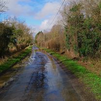
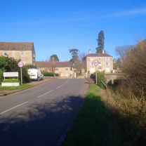
Road
12.7 km31 %Cycleway
10.7 km26 %Paved
25 km(61 %)Unpaved
4.5 km(11 %)Asphalt
25 km61 %Gravel
4.1 km10 %Free trial for 3 days, or one-time payment. More about Bikemap Premium.
Discover more Premium features.
Get Bikemap PremiumOpen it in the app