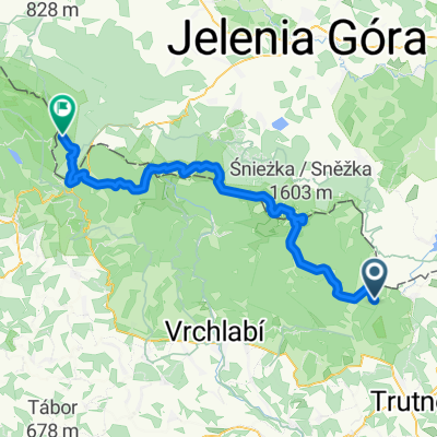
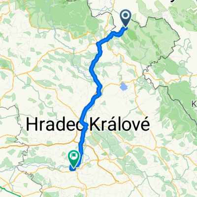
Žacléř-Adršpach-Žacléř
A cycling route starting in Žacléř, Královéhradecký kraj, Czechia.
Overview
About this route
The more information you write here, the more useful it will be for other users.
- Route progress.
- What is special about this route?
- Why recommend this route?
- What did you like the most here?
- Etc.
- -:--
- Duration
- 65.1 km
- Distance
- 712 m
- Ascent
- 711 m
- Descent
- ---
- Avg. speed
- ---
- Max. altitude
Route quality
Waytypes & surfaces along the route
Waytypes
Road
31.2 km
(48 %)
Track
9.8 km
(15 %)
Surfaces
Paved
33.2 km
(51 %)
Unpaved
5.9 km
(9 %)
Asphalt
33.2 km
(51 %)
Unpaved (undefined)
2 km
(3 %)
Continue with Bikemap
Use, edit, or download this cycling route
You would like to ride Žacléř-Adršpach-Žacléř or customize it for your own trip? Here is what you can do with this Bikemap route:
Free features
- Save this route as favorite or in collections
- Copy & plan your own version of this route
- Sync your route with Garmin or Wahoo
Premium features
Free trial for 3 days, or one-time payment. More about Bikemap Premium.
- Navigate this route on iOS & Android
- Export a GPX / KML file of this route
- Create your custom printout (try it for free)
- Download this route for offline navigation
Discover more Premium features.
Get Bikemap PremiumFrom our community
Other popular routes starting in Žacléř
- Okruh Žacléř – Adršpach – Žacléř
- Distance
- 68.8 km
- Ascent
- 803 m
- Descent
- 797 m
- Location
- Žacléř, Královéhradecký kraj, Czechia
- Žacléř – okolo Vraních hor - Žacléř
- Distance
- 55.4 km
- Ascent
- 495 m
- Descent
- 495 m
- Location
- Žacléř, Královéhradecký kraj, Czechia
- Mala Upa - Pec a zpět - Elektrokola
- Distance
- 33.3 km
- Ascent
- 990 m
- Descent
- 955 m
- Location
- Žacléř, Královéhradecký kraj, Czechia
- Žacléř – Prkenný Důl - Rýchory - Žacléř
- Distance
- 16.2 km
- Ascent
- 527 m
- Descent
- 527 m
- Location
- Žacléř, Královéhradecký kraj, Czechia
- Žacléř-Adršpach-Žacléř
- Distance
- 65.1 km
- Ascent
- 712 m
- Descent
- 711 m
- Location
- Žacléř, Královéhradecký kraj, Czechia
- Žacléř – Horní Albeřice – Niedamirów (PL) - Žacléř
- Distance
- 16.9 km
- Ascent
- 452 m
- Descent
- 449 m
- Location
- Žacléř, Královéhradecký kraj, Czechia
- Žacléř-Královec-Trutnov-Žacléř
- Distance
- 35.1 km
- Ascent
- 446 m
- Descent
- 446 m
- Location
- Žacléř, Královéhradecký kraj, Czechia
- Spálený Mlýn-Černá h.-Pec pod S.-Spálený m.
- Distance
- 37.7 km
- Ascent
- 1,195 m
- Descent
- 1,196 m
- Location
- Žacléř, Královéhradecký kraj, Czechia
Open it in the app